
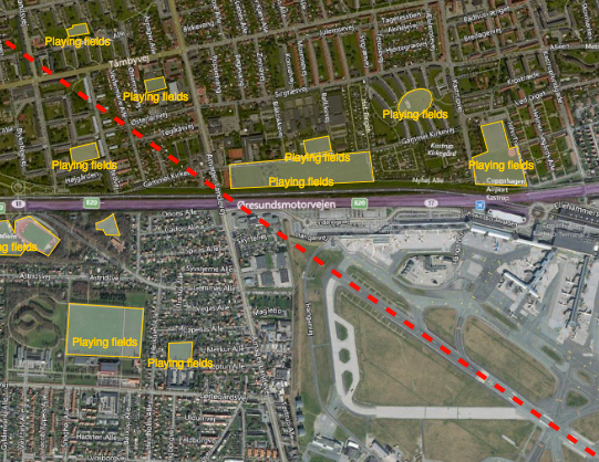
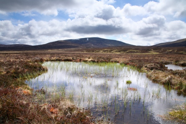
Reducing the risk of bird strikes using satellite images and Ascend’s Normalised Difference Water index software (NDWI)


BROWSE PROJECTS
Based on user needs and industry skills, the evolution of customized solutions and the establishment of innovative services is accomplished through project activities. Focusing on various thematic areas, relevant information on the project activities is provided below.

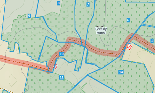
Ground Instability Risk Profiling (GIRP) now branded as Hi_Ground
Status date: 22 February 2019
Hi_Ground delivers new subsidence risk profiling tools, based on our unique Core Subsidence Hazard Score, for every property and postcode in the UK.

SCS
Status date: 18 February 2019
Smart Coop Solutions (SCS) is an Internet of Things (IoT) based sensing service enabling the organic farmer to monitor and maintain mobile chicken coops remotely and to guarantee suitable conditions for the animals. Animal welfare under organic standards has strict regulations and requires that coops offer a suitable indoor climate and outdoor environment. Real-time monitoring through the SCS provides farmers with relevant statistics, actionable information and peace of mind through a simple mobile app.

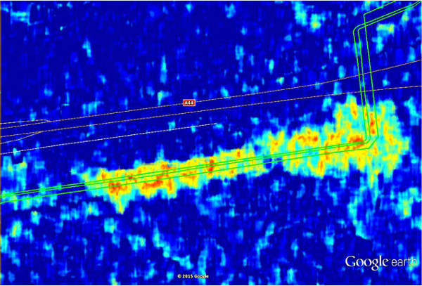
LiveLand
Status date: 20 February 2018
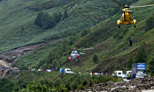
Transport operators across the UK face significant challenges in monitoring and detecting landslides and subsidence across their networks. LiveLand supports asset owners and operators to assess and monitor high-risk areas of their transport network providing improved geological hazard information at regional, network and local levels using integrated data from Earth observation satellites and GNSS.
ConsTrack
Status date: 12 December 2018
ConsTrack serves as a comprehensive construction site information service to the economic and financial sector, through an integrative satellite observation and satellite navigation solution and dedicated IT system.
DynTrans
Status date: 20 February 2019
The Dynamic Public Transport System (DynTrans) is a concept for dynamic public transport systems based on existing transport networks and satellite positioning. DynTrans assists public transport providers and governmental institutions to increase the attractiveness of their public transport systems. The system provides a taxi-like transportation service for the costs of a bus ticket to passengers.

PRIIMA
Status date: 08 February 2019
PRIIMA serves the need for high-resolution sea-ice forecasts in the Arctic and Antarctic maritime sector. It converts static satellite images into real-time information and even into animations showing the future drift of sea-ice over the next hours and days, while the resolution of the images is being conserved.

BLUE DISCOVERY
Status date: 18 December 2017
BlueDiscovery is an innovative and powerful technology platform designed to provide an efficient and low-cost Access Control and Visitor Information System to Marine Protected Areas (MPAs)and Tourist Ports, and at the same time to provide to them the capability to efficiently offer a rich set of added-value services to visitors.

DateGIS Demo
Status date: 12 February 2019
DateGIS Demo is the follow-on demonstration project from the ARTES 20 DateGIS feasibility study completed in 2016.
DateGIS is an integrated Geo-information System (GIS) for Date Palm precision agriculture. Objective of DateGIS is to provide information products and services on date farms and palm trees for:
- Government institutions, specifically for the following needs:
- Date farm and palm registration service;
- Regional / national Red Palm Weevil control management program;
- Date sector (farmers), specifically for the following needs:
- Increase yield, productivity and quality of date farming;
- Reduction of date farm losses due to Red Palm Weevil infestation.
Currently the main threat for the global date sector is the Red Palm Weevil plague, so the first focus of DateGIS is on service items 1.b and 2.b (the most urgent needs), with a clear and sustainable long-term growth model for service items 1.a and 2.a.
The key asset of the DateGIS is information supply chain management (“from big data to farm information”) which includes building a strong network of remote sensing data suppliers, aerial survey service providers, knowledge partners and local network / sales channels.

NARWHALS
Status date: 05 February 2019
NARWHALS objective is to realise a feasibility study of a service capable to provide high accuracy positioning by monitoring and mitigating the ionospheric impact on GNSS navigation in the Arctic environment. Istituto Superiore Mario Boella (ISMB) and SpacEarth Technology (SET/INGV) propose a possible solution by combining their expertise in low power hardware and managing ionospheric data.
DateGIS -
Status date: 22 October 2016
DateGIS is an integrated Geo-information System (GIS) for Date Palm precision agriculture. Objective of DateGIS is to provide information products and services on date farms and palm trees for:
a) Provide date farm management information to increase date production, quality and yield;
b) Development and management of a national RPW control program;
c) Reduction of farm financial losses caused by RPW infestation;
d) Improve water use efficiency, irrigation and fertilizing management.

POINTSAT
Status date: 01 February 2019
POINTSAT enables professional remote collaboration services of support, instruction and training in challenging conditions for the maritime, offshore, and energy industry sectors. The project integrates satellite infrastructure and augmented reality technology into a smart and reliable solution for all technical collaboration needs.

GEOA
Status date: 20 June 2018
Geoaudio is an ‘Augmented Reality meets Audio’ experience that enhances the tourism offer for outdoor attractions in a non-obtrusive way that does not detract from the natural environment. Users experience an immersive soundscape of voice, music and sound effects triggered by GNSS derived locations as they move through the landscape.

Watch Out!
Status date: 19 December 2018
While wearable tracker gadgets become mainstream, they fail to provide a solution for elderly fall prevention. This new algorithm from Gait Up empowers existing wearables with smart fusion of GNSS and IMU for simple and accurate activity metrics related to elderly falls, like gait speed. The algorithm is implemented in a smartwatch application, satisfying requests from national healthcare institutions.

Satellite data analytics for (re)insurance
Status date: 16 January 2019
Geospatial data analytics for (re)insurance

NITREOS
Status date: 16 January 2019
NITREOS is a service platform that serves organic farmers, as well as conventional, in carrying out daily activities in a more efficient, profitable and sustainable way, as compared to the practices they used until now.
NITREOS provides the following services to farmers and agricultural consultants: i) Irrigation Scheduling; ii) Variable Rate Fertilization; iii) Crop Growth Monitoring; and iv) Yield Estimation.

SENSA
Status date: 05 March 2018
The SENSA project aims at a collaborative platform supporting âsustainable & responsible tourismâ in protected remote areas, such as natural parks, natural reserves and historical sites.