
Reducing the risk of bird strikes using satellite images and Ascend’s Normalised Difference Water index software (NDWI)


BROWSE PROJECTS
Based on user needs and industry skills, the evolution of customized solutions and the establishment of innovative services is accomplished through project activities. Focusing on various thematic areas, relevant information on the project activities is provided below.
ThermCERT
Status date: 12 December 2019
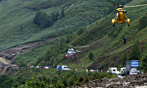
Fuel poverty is an increasingly large social problem in the Great Britain, as well as in the rest of Europe. Ageing, inefficient building stock and rising fuel prices are pushing more and more households into fuel poverty.
ThermCERT reduces the complexity, cost and time spent identifying households who may qualify for Energy Company Obligation (ECO) support, allowing energy suppliers to deliver their obligation more efficiently.
ThermCERT Feasibility Study
Status date: 11 December 2019
The European Commission established a long-term objective of decreasing the CO2-emission levels for the building sector by 27% by 2030.
Every third building in Europe is in need of deep renovation (older that sixty years). People in these houses are overpaying for the heating many times. That is both economically and environmentally harmful. Buildings account for 40% of the EU's energy consumption, 36% of its CO2 emissions. Current annual building renovation rate in Europe is below 2%.
The actual thermal performance of building stock is the critical element for situation awareness, impacting progress on energy efficiency measure uptake.
Utilising Earth observation, satellite navigation and ground level data, ThermCERT represents a crucial aid in helping to understand the true thermal performance of the city built environment, highlighting the energy efficiency problematic areas and issues.
GridWatch
Status date: 09 September 2019
GridWatch offers owners of high voltage power infrastructures a continuous monitoring and alarming system to support the inspection, maintenance and management procedures of power lines, and a management system providing the measurements of the parameters necessary to dynamically operate the power lines, i.e. ambient temperature, wind speed and direction, solar irradiance and conductor temperature.
PLIMM
Status date: 24 June 2019
‘Helping to find the important needles within the InSAR time series haystack’
The PLIMM services developed within the project provide users with unique information on the performance of their assets. Using a set of proprietary workflows and algorithms on processed InSAR data the system is able to identify critical insights within the millions of individual measurement points. Developed in close collaboration with the user community, the system provides earth observation outputs in a format that is most appropriate for the target sectors.
MULDIARCOS
Status date: 27 November 2019
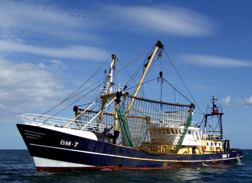
The MULDIARCOS project has implemented and demonstrated a cohesive end-to-end delivery chain of satellite imagery and met-ocean data. The implemented service has been demonstrated during maritime operations in the Arctic. Arctic maritime operations often have a need of fast and regular earth observation and weather information. In the project, focus has been on streamlined and effective ordering, delivery procedures due to limited and expensive communication channels to the vessels during the operations.
SpaceChain
Status date: 27 November 2019
The multisignature wallet makes digital currency transactions more secure by requiring two approvals for each transaction, one from the user and one from the satellite. The security of transactions are guaranteed via satellite hardware isolation, a multiple approval model, and secure satellite communication making the transaction resistant to hacking.
Cerberus
Status date: 26 November 2019
BlackShore’s crowdsourcing platform Cerberus reinforces developing country economies utilizing satellite imagery amplifying sustainable food production while preserving the environment. This is achieved through the power of satellites, socially conscious gaming and the power of the crowd.
IoT4Verticality
Status date: 18 November 2019
IoT4verticality is a decision support solution to improve the current inspection procedures and enable condition-based maintenance of critical infrastructures; it monitors the verticality of structures, which is particularly important in tall structures such as flanged poles and guyed poles/towers.
NG-RMP
Status date: 14 November 2019
The Next Generation Recognised Maritime Picture (NG-RMP) provides a real time marine solution for the monitoring of vessels, complemented with advanced decision support. The system provides for risk determination from the viewpoint of either navies and the security of countries EEZ or insurance organisation to determine risk exposure of their marine vessel portfolio in real time worldwide.
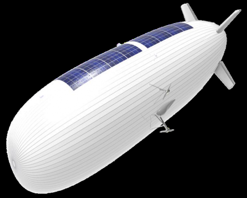
Services enabled by HAPS (Thales Alenia Space)
Status date: 14 November 2019
The need for effective surveillance covering large surface areas around the world is expected to boost the market for HAPS.
The study objectives are:
- to define services where HAPS can play a key role in the short-term, mainly for maritime and border surveillance, support to ISR (Intelligence, Surveillance and Recognition) activities and emergency response applications,
- to technically and economically assess and characterise the previous applications and services complemented by satellites.
SOLAR3
Status date: 08 November 2019
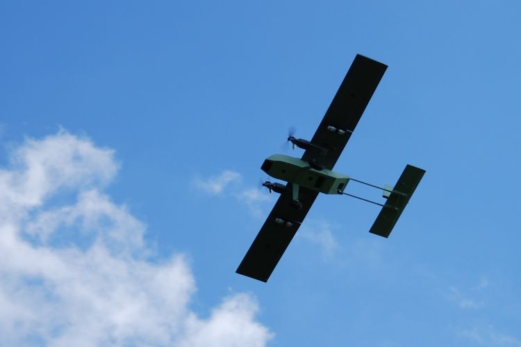
SOLAR3 leverages core space assets including navigation, earth observation and satellite communication, as well as the recent advances in solar-powered unmanned flight and hyperspectral imaging technologies towards the realisation of large-scale diagnostics of vegetation for precision farming.
Smeeth
Status date: 08 November 2019
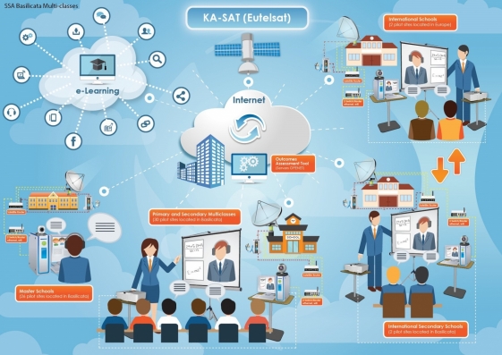
SMEETH designed to supports health researchers handling a large database on atmospheric composition, meteorological data, and correlated geo-referenced medical records, in a web-based Geographic Information System (GIS) environment. The final goal of SMEETH is to determine the plausibility of providing early warning of outbreaks of respiratory diseases using satellite measurements.