
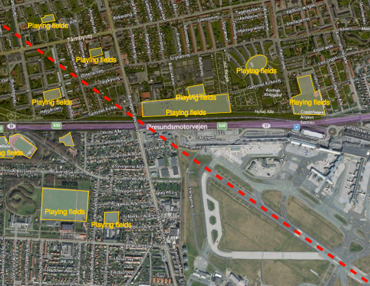
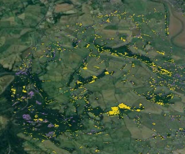
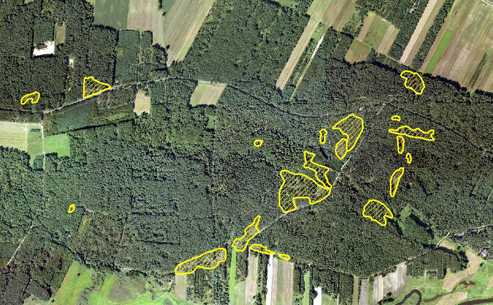
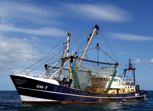
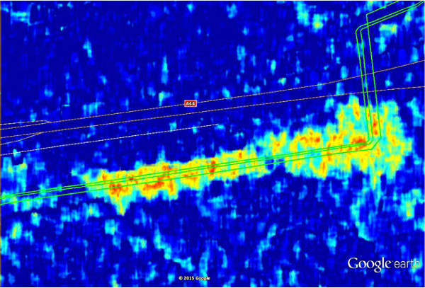
Reducing the risk of bird strikes using satellite images and Ascend’s Normalised Difference Water index software (NDWI)


BROWSE PROJECTS
Based on user needs and industry skills, the evolution of customized solutions and the establishment of innovative services is accomplished through project activities. Focusing on various thematic areas, relevant information on the project activities is provided below.

Project Lunar
Status date: 21 October 2022
Phase 1 of Project LUNAR has determined the feasibility of a multi purpose shared electric fleet solution for NHS Hospitals. We wanted to reduce transport related challenges for employees and patients by providing a sustainable, optimised solution that improves access and reduces cost.
EMT
Status date: 20 October 2022
The aim of the Estate Market Trends (EMT) project is to provide a financial service that introduces a digital transformation of access to real estate market data. The main objective of the proposed solution is to create investment reports based on a selected location (coordinates). The system assumes the use and mutual integration of different sources of real estate data.
Digital Engineer
Status date: 20 October 2022
The Digital Engineer is an AI-powered Digital Assistant allowing engineering learners, students and professionals, to acquire industry knowhow and expertise alongside a group of peers, through hands-on projects, anywhere in the world, to solve big problems on planet Earth, and providing the tools for engineering instructors to focus on teaching. The platform is the foundation of the future of engineering education thanks to powerful digitalization and automation of workflows.

DreamCoder TM 2.0
Status date: 26 July 2022
DreamCoder 2.0 is your first ticket to Space. It is a commercially driven application to digitally access the International Space Station. The service is powered by Nanoracks Europe in partnership with Rina Consulting.
PickyRobot
Status date: 13 October 2022
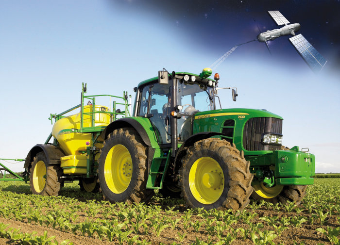
We want to manufacture a harvesting tractor for strawberries. No one should do physically hard field work anymore. The Time has come to make a change. European companies should also be on the verge of this new technologies. We make use of high accuracy SatNav GNSS-technologies (GALILEO) to secure the robot operations.
MESPAC
Status date: 13 October 2022
MESPAC is a service suite that delivers to the offshore wind industry highly accurate, continuous and certified wind, wave and other metocean information for offshore wind farm sites. Based on Earth Observation Satellites, the quality of the data provided is suitable for bankability and advanced design activities for new marine energy projects.
MEANDAIR
Status date: 11 October 2022
Meandair provides pilots with relevant weather data. Before flight, a plan can be registered in the application and the necessary weather information will be downloaded. By pushing the flight button, just before take-off, the Meandair weather information travels along with pilots. Updates of the latest weather can be also downloaded during flight using the SATCOM communication devices. The weather data are also available to 3rd party application developers, behind easy to use programming interface.
DECISIONX
Status date: 27 September 2022
SATAVIA is an AI software and data company simplifying decision-making in aircraft flight operations and maintenance to make aviation smarter and greener.
DECISIONX is a cloud-based analytics platform combining global flight data with atmospheric data to perform environmental exposure assessments for aircraft and buildings. This enables better decision-making in condition monitoring, predictive maintenance and aircraft performance.
SAT-IS(F)Action
Status date: 22 September 2022
Existing space technologies (SatNAV, SatCOM, SatEO) can be blended with the most innovative data intelligence and certification technologies (Edge AI, IoT and DLT) to offer next generation Remote Container Monitoring services (Container-as-a-Service, CaaS), hence increasing overall food supply chain safety and reliability, in the pursuit of the highest possible final customer “satisfaction”.
Sports Event Live Photography
Status date: 22 September 2022
Success for Live Event Photography!
With support from ESA, UK software company AWOL has successfully piloted and launched their ground-breaking Live Photography service. Participants and supporters at marathon, swim and triathlon events received high quality photos within seconds of them being taken, establishing Live as the de-facto standard for Event Photography worldwide

STEMBOT
Status date: 21 September 2022
In addition to a shortage of manual labour, tree nurseries, orchards and vineyards are facing challenges regarding their use of chemicals, which shall decrease to comply with EU regulations and decrease environmental impact. In this context, Exobotic Techologies aims to offer an agricultural robot and a web application using satellite images to help these actors to better monitor and treat their plants.
TT-GSAT
Status date: 20 September 2022
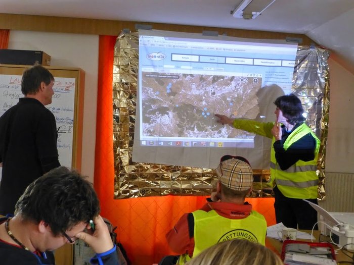
TT-GSat offers a test and trial environment for emergency personnel and industry where it is possible to touch, try out and play with real building blocks to creatively find and implement new solutions. These building blocks can be individually combined with each other to try out and test the interaction of different equipment in different deployment scenarios.
TT-GSAT
Status date: 21 July 2016
TT-GSAT facilitates rescue and emergency services as well as industry and service providers to leverage innovations along evaluated needs and requirements, which results in minimized risk for solution development and eases complex deployments in a mission critical environment.
Comprehensive services with scoping services for innovation driven procurement, test and operation support for SatCom and terrestrial communication, navigation, EO based solutions and training/simulation services are offered.
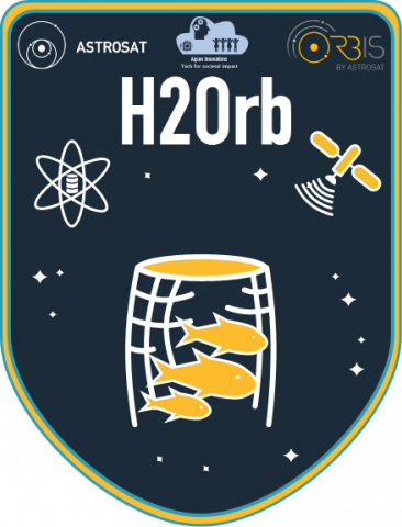
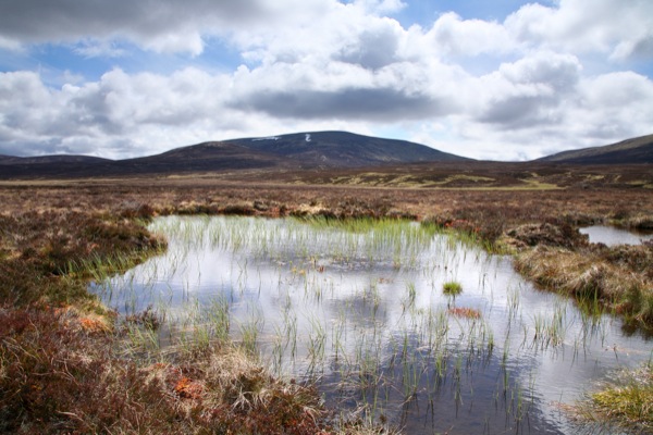
H2Orb
Status date: 20 September 2022
H2Orb tested the feasibility of developing a monitoring and alerting tool that harnesses satellite data to complement ground sensors in supporting the aquaculture sector. It used real-time data insights and early alerts to enable intervention measures for environmental and water quality to be applied to safeguard aquaculture stock whilst allowing farmers to monitor the results of their interventions.
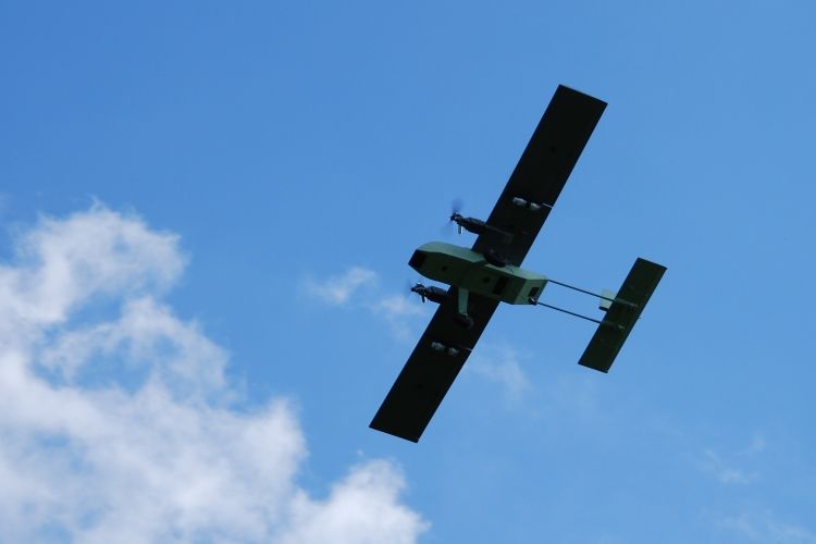
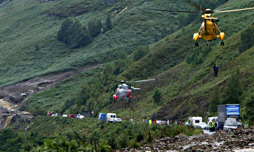
DRONEAI
Status date: 19 September 2022
The DRONEAI project aims at providing an integrated approach to provide a close to real time assessment solutions for disaster relief and humanitarian interventions. It consists of a complete and state-of-the-art solution relying on Artificial Intelligence including a set of tools to enable its application in a time of tension and with high level of flexibility. DRONEAI is combined as an edge processing solution in HITEC’s Nomadic Satellite Communication (NoSaCo) terminal, it creates a unique solution to support the on-site analytics.
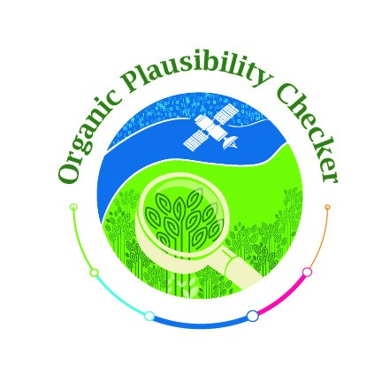
Organic Plausibility Checker
Status date: 19 September 2022
Organic markets are growing all over the world. The frequency of organic food fraud is increasing as well. To counter this fraud, satellite-based new technology can play an important role. Our satellite-based organic Plausibility Checker will act as a third eye for ensuring the extra surveillance in the organic sector combined with a supply chain mass balance system that combines certification and product transaction data.