
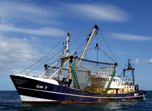
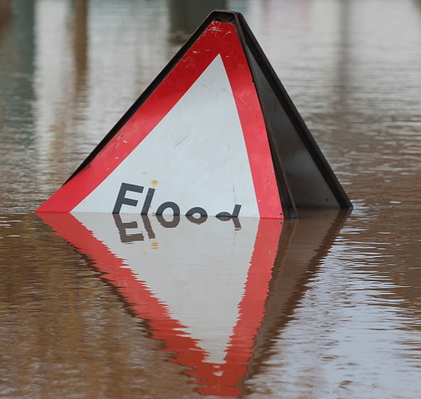
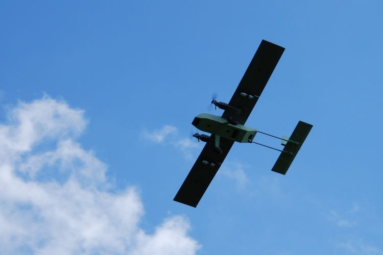
Reducing the risk of bird strikes using satellite images and Ascend’s Normalised Difference Water index software (NDWI)


BROWSE PROJECTS
Based on user needs and industry skills, the evolution of customized solutions and the establishment of innovative services is accomplished through project activities. Focusing on various thematic areas, relevant information on the project activities is provided below.
RT5.0
Status date: 27 November 2023
Rural Tourism 5.0 (RT5.0) is a next generation travel planning ‘eco-algorithm’, designed to improve the visitor experience, impact on the environment, and the economic output of rural tourist destinations.
LUCI
Status date: 22 September 2022
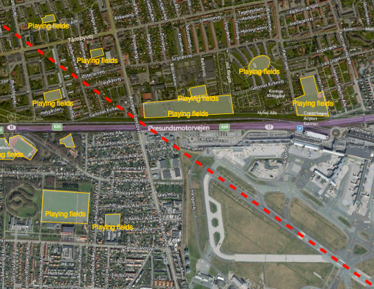
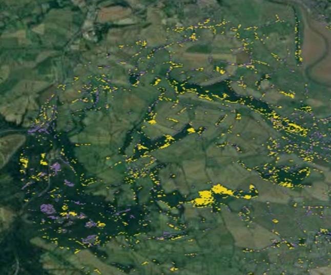
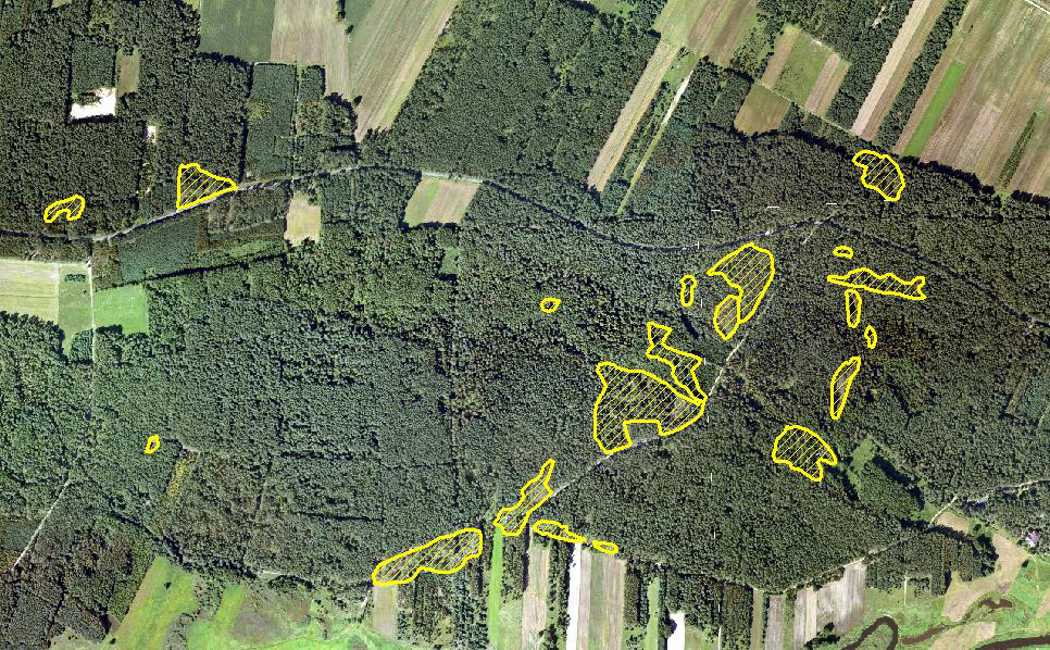
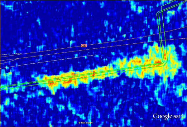
Project LUCI aims to assess land use around railway infrastructure and detect changes that could be hazardous to the safe running of the railway. The project aims to give trackside managers crucial information to enhance the decision making process and ultimately make the railways a safer place to work and travel.

SNA
Status date: 04 August 2023
The Smart Nurse Assistant project introduces an innovative solution to automate repetitive tasks in
healthcare. It will provide an unmanned medical equipment delivery robot service to effectively lower the
pressure on the nurses and other healthcare personnel by taking over some of the time-consuming tasks of
delivering items and equipment between hospital departments, nursing homes and similar healthcare
institutions.
EO Diagnostics
Status date: 04 March 2024
In this transformative project AI-driven diagnostics, and Earth Observation (EO) data are bridged to
revolutionize patient care and early disease prediction. AI, fueled by satellite data, enables early disease
prediction by analyzing environmental factors such as UV exposure and dust concentrations. This approach
extends beyond traditional healthcare, addressing global health and environmental challenges.
AROBS AlertBox
Status date: 04 March 2024
AROBS AlertBox aims to offer access to E-alert messages and 112 emergency service, in environments that lack reliable GSM (Global System for Mobile Communication). This product is an emergency alert box that connects, via the Iridium global satellite constellation system, , to the national emergency response systems in critical situations when communication channels are compromised.
ORCAS
Status date: 01 March 2024
Trade in Space creates NFTs on a blockchain, using SatEO analysis. But these aren’t works of art – they're tied to physical commodity crops still growing in the field and this new approach enables us to move into a new age of transactional insight®. In this project Trade in Space will show the value this new approach has in streamlining global coffee and cacao supply-chains.

HeManEO
Status date: 01 March 2024
The activity aims to transform Earth Observation (EO) data into a reliable product for various business clients, including large corporations and the financial sector. It addresses compliance with auditing, legal standards, and emerging ESG regulations, offering End-to-end validation ensuring data security, compliance, immutability, and nonrepudiation.
ILDAP
Status date: 18 January 2021
Uncovering illegal logging in the past, present and future.
Rapid response. Anticipate to mitigate.

MEB
Status date: 23 February 2024
Unlock the potential of satellite remote sensing and advanced modelling for accurate and cost-effective biomass measurements in your RegenAg and Carbon programme. Gain precise insights into crop and cover crop biomass, as well as CO2 fluxes with our innovative solution.

MASAI
Status date: 22 February 2024
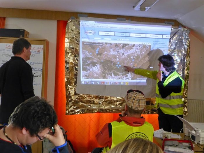
MASAI is a web platform designed to support national and international organisations that intervene in emergency situations (humanitarian crises due to war and natural disasters). This web platform uses automated Artificial Intelligence algorithms applied to VHR and SAR images to identify damage to buildings and infrastructures, estimating the extent of economic damage and affected population; Ukraine is the use case.
Energy SCOUT
Status date: 22 February 2024
Energy SCOUTTM is a modular set of services which transform daily and weekly feeds of raw satellite sensor and spatial data into a series of value-added information products, targeting different activities along the oil & gas supply chain.

DITCH
Status date: 20 February 2024
The newly developed DITCH - Digital Twin Catchment service consists of an online accessible digital representation of basins providing static and dynamic variables like topography, land use and cover, hydrological and ecological conditions (water level, discharge, sediment concentrations, algal blooms) of water bodies, and soil characteristics provided through earth observation (EO) including potential dynamics next to past and present situations.
This physical twin is then also combined with socio-economic information to provide relevant decision support tools for resilient basin management of water-related stakeholders.
CDPP
Status date: 20 February 2024
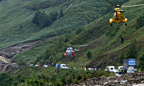
Patient wandering off is a major concern in long term care facilities. The CDPP project responds to that concern by adding geo-fencing and Search & Rescue (SAR) capability using Galileo GNSS. This prevents dementia patients from getting lost and wandering off facilities.

BST HIKES
Status date: 14 February 2024
BST.COACH, a Czech digital youth sports platform has developed a reward-based outdoor exercise application using GNSS-stamped locations.

Samplifly
Status date: 14 February 2024
SAMPLIFLY is a fast, integrated, and sustainable drone-based express transportation service design to carry different types of samples for industrial companies. SAMPLIFLY is able to operate in highly industrialised areas such as large harbours.

5G Drone Safety Module
Status date: 14 February 2024
Currently drones are not electronically visible, and it is not possible to determine accountability of a drone without searching and hoping you can find the operator. The proposed activity for the ESA Kick-Start project is to solve the issue of electronically identifying and tracking of drones.

AFNOL
Status date: 14 February 2024
The project aims to improve the data analytics software used by insurance companies to confirm an accident has happened, who is at fault and the probability of injury.

SPACE4LIFE
Status date: 08 February 2024
This study is meant primarily for increasing road user safety when crossing a level crossing and thus, the decrease of fatal accidents at rail-road crossings representing the second cause of railways fatalities in EU. In this project the achievement of higher safety standards for level crossing accident prevention is thought through the design of a low-cost system based on space assets and cutting-edge informatic technologies. The proposed system could be strengthened in terms of data accuracy through the integration of ground technologies (i.e., optical cameras and interactive signs) where needed.
PeaSat
Status date: 05 February 2024
The PeaSat project will develop a yield prediction package which uses satellite imagery to forecast vining pea harvest volumes around two weeks before harvest.
GAINS
Status date: 12 May 2023
GAINS is an “alternative data” platform for the Financial Services industry providing near-real time activity and leading-indicator production indices for a range of industrial supply chains such as iron ore and steel, and in future other metals, minerals and materials.
GAINS provides historic and near-real-time insights on the activity and production levels at hundreds of industrial sites worldwide on a daily or weekly basis, at a scale not previously possible, by harnessing AI-enabled remote sensing data fusion.

GAINS CCN1
Status date: 05 February 2024
GAINS provides historic and near-real-time insights on the production and activity levels at hundreds of sites involved in the global iron and steel supply chain. It offers an “alternative data” source for the Financial Services industry by providing near-real-time leading indicators such as stockpiles of raw materials and levels of activity and production, based primarily on satellite observations.
ForEOSt
Status date: 22 January 2024
Discover how ForEOSt supports sustainable forest management with dynamic monitoring services based on Earth observation data. Get frequent updates on the forest vitality status and establish reliable tree count, density, and species to enhance your management practices. Whether in urban, agricultural, or rural settings, ForEOSt supports national and regional authorities, industries, and private owners in the face of climate change and biodiversity loss.
Let SPACEBEL help you monitor your forest and trees in the most efficient manner.
ABG
Status date: 30 January 2024
A data product harnessing wildfire impact data for carbon credit verification, estimation, and above-ground biomass change analysis in the growing carbon market.