
Reducing the risk of bird strikes using satellite images and Ascend’s Normalised Difference Water index software (NDWI)


BROWSE PROJECTS
Based on user needs and industry skills, the evolution of customized solutions and the establishment of innovative services is accomplished through project activities. Focusing on various thematic areas, relevant information on the project activities is provided below.
FARMEX
Status date: 17 July 2023
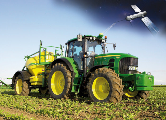
FARMEX” is the adapted version of the original Farmstar service, developed and operated in France by Airbus since 2005. As the leading Precision Agriculture service based on EO in France, Farmstar helps farmers in optimizing the nitrogen inputs in their fields, not only to comply with regulations but also to steamline their operating costs.

SkyWake
Status date: 10 July 2023
For the detections of water leaks, Earth-Observation can play a fundamental role. By boarding on General Aviation Aircrafts Thermographic, Optical and Synthetic Aperture Radars sensor, and crossing their high-resolution outcomes with satellite interferometric data analyses, sub-surface phenomena may be investigated, understanding how water distributes across the networks of urban environments allowing to potentially address water losses location.

INVENTA
Status date: 10 July 2023
The INVENTA Demo Project implements innovative services able to increase the fruition, accessibility and sustainability of historical/cultural sites through the integration of Virtual & Augmented Reality with Satellite Navigation and Earth Observation. The service will be based on an innovative mobile App leveraging SatCom technologies and the 5G network.
INVENTA
Status date: 07 April 2021
The INVENTA project intends to carry out the feasibility study of an innovative service able to increase the fruition, accessibility and sustainability of historical/cultural sites through the integration of Virtual & Augmented Reality with Satellite Navigation and Earth Observation. The service will be based on an innovative mobile App using 5G network.
PROFEO
Status date: 10 July 2023
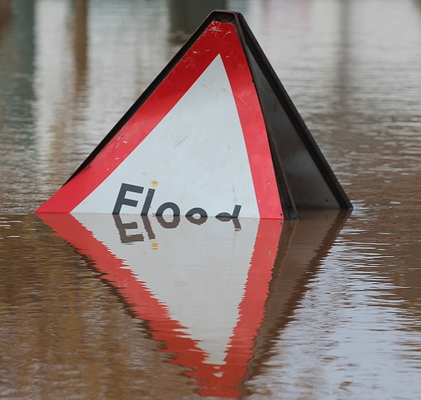
The consortium provides a web-based platform that allows users to get actionable property level flood hazard insights at “the push of a button” combining existing flood data, meteorological data and archived as well as current satellite images. The service is accessible to non-experts, providing flood hazard maps and alerts tailored to the needs of the clients in the real estate domain, and can be scaled to wide geographical areas.

GridEyeS
Status date: 10 July 2023
GridEyeS supports electricity transmission and distribution by providing situational awareness regarding vegetation near power lines faster, cheaper, and with less CO2 footprint through Space-level Artificial Intelligence. It leads to safer and more reliable operation of the electric grid.
GridEyeS
Status date: 19 October 2020
GridEyeS AI service contextualizes satellite, weather, drone and other operational data at scale, enabling fast and frequent monitoring of power lines at a fraction of the cost.
Track & Trust
Status date: 10 July 2023
Track & Trust is a cost-effective tracking solution utilizing satellite communication, IoT mesh networks and blockchain technology. The system offers a scalable tracking and communication platform which solves a broad range of supply chain challenges, such as the intricate recording and tracking of goods for remote last-mile delivery. Track & Trust is predestined for logistics and related services for the humanitarian sector.

SMART TT CARE
Status date: 30 June 2023
SmartTTCare aim to provide personalized AI-driven training programs for cancer patients in remission, inspired by table tennis sport and enabling the support of their community. Utilizing 5G connection we will enable real time training scenarios in real life and complemented with virtual environment trainings in the Metaverse where a community will provide support to their love ones. The program will have a global reach anytime and anywhere. A reward system will motivate patients to keep training, while their technology analytics platform monitors their progress in real-time, offering accurate data to patients, healthcare professionals, and families. Virtual reality will allow us to support patients several times a week, and this therapy can be complemented by table tennis practice with a local association.
SC
Status date: 28 June 2023
SmartCane helps sugarcane estates and farmers in Mozambique boost productivity and crop yields through remote sensing derived crop and management advice sent via SMS messages and phone-friendly pdf maps. These messages address actionable advice and support in decision-making and resource management, promoting sustainable practices and problem-solving within cooperatives. Estates and farmers can now make informed decisions based on real-time data for maximum impact.
Remote Planet
Status date: 27 June 2023
Secure Innovation’s Remote Planet provides protection of staff and cargo for the high-value transportation industry by harnessing the power of dual-directional communications through an “always-on” SaaS model.
Utilising Low Earth Orbit technology in tandem with global telecommunications the Remote Planet product gives businesses the power to directly affect the outcome of an unexpected event during transportation with its Active Control capability.
EARTH SCAN
Status date: 27 June 2023
EARTHSCAN is a Real-Time Healthcare System (RTHS) for detecting and diagnosing polyps during colonoscopy using cloud computing accessed via satellites.
ICUTrain
Status date: 26 June 2023
ICUTRAIN is an innovative hospital-train equipped with ambulatory and intensive care units and using space technologies to enable remote medical analyses and consultations that require data exchange and high communication security standards. ICUTRAIN can offer some advantages compared to other solutions because it travels ready for operation, thus requiring limited set-up time once the target destination has been reached.
PSVE
Status date: 22 June 2023
PSVE (Port Stockpile Volume Estimation) is a product DBX is developing within the ESA BASS programme; the PSVE module aims to collect and harmonise global, highly fragmented, dry-bulk commodities data in near real-time, by applying state of the art machine learning classification algorithms and establishing a strong correlation between market trends and the localization of dry bulk stockpiles.
BeSpatial.AI Demonstration
Status date: 19 June 2023
How do you target advertising to maximize customer reach and minimize costs? Where do target customers stay, live and work? What locations should be the focus of digital and physical advertisement campaigns?
BeSpatial.AI helps businesses in financial services and other industries to boost their ads performance with customer trained machine learning model (HolistiCRM).
Training is done based on internal datasets, EO (ESA) and GIS data (GeoX). In our first use-case machine learning model accuracy reached 91%.
Machine Learning supported targeting ROI 1127% thanks to lower CPC and higher conversion rates targeting the right (potential customer dense) locations.

UpGreen
Status date: 19 June 2023
UpGreen helps cities to realize more effective urban green policies. It is based on actionable insights on the actual and future state of urban green as well as on the greenery vision model proposition, enabling strategic decision-making, and identification of the most effective urban green projects and policies.