
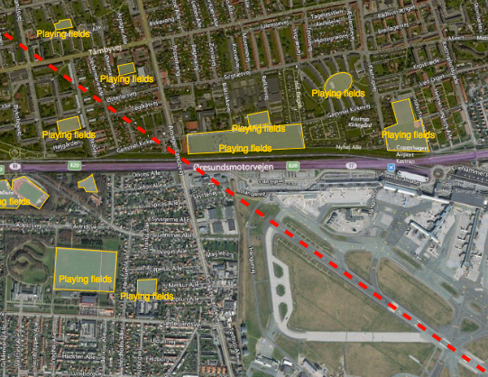
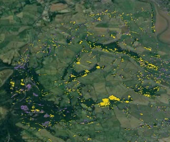
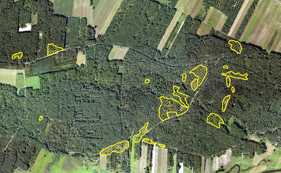
Reducing the risk of bird strikes using satellite images and Ascend’s Normalised Difference Water index software (NDWI)


BROWSE PROJECTS
Based on user needs and industry skills, the evolution of customized solutions and the establishment of innovative services is accomplished through project activities. Focusing on various thematic areas, relevant information on the project activities is provided below.
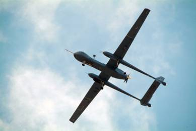
UASatCom
Status date: 04 October 2012
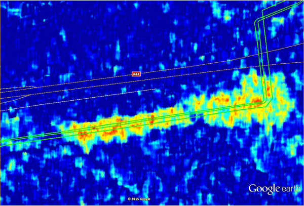
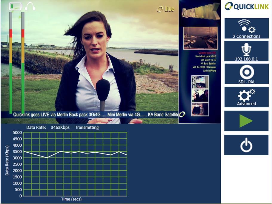
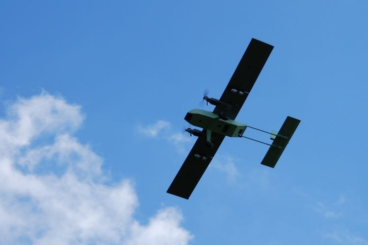
The UASatCom project targets airborne geophysical survey and oil and gas pipeline monitoring services based on an Unmanned Aircraft System (UAS). Equipped with suitable sensors and making use of satellite communication and navigation, operation of the UAS beyond line-of-sight is enabled.
VECMAP Feasibility Study
Status date: 30 July 2012
Hitchhiking on international trade and travel, foreign species that act as vectors of disease (e.g. mosquitoes, ticks) may establish themselves in new environments world-wide if conditions are favourable. VECMAP aims at assessing the feasibility of developing a tool and associated service for automated mosquito mapping and forecasting.
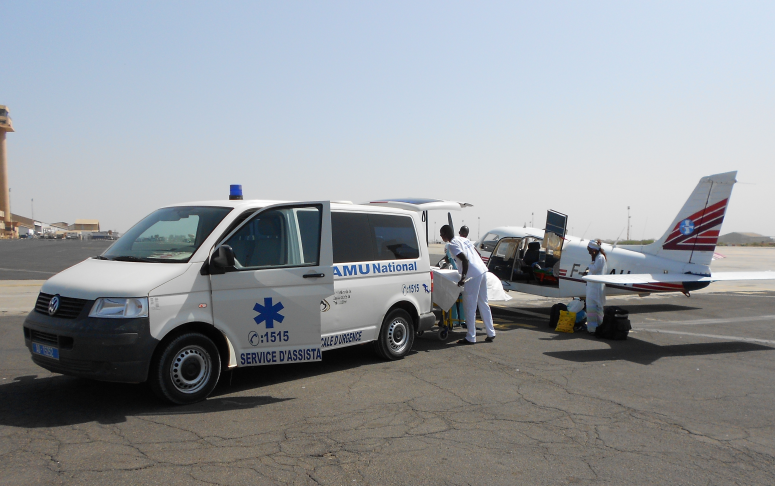
TESHEALTH
Status date: 31 March 2012
The TESHEALTH project is dedicated to developing, implementing, qualifying and validating a telemedicine system promoting the use of satellite communications aimed at reducing the impacts of chronic diseases, improving life styles and empowering citizens to adopt a healthier behaviour.

SFEDONA
Status date: 25 March 2015
The SFEDONA project aims to design, develop, validate and demonstrate a complete end-to-end fire detection and alerting application which makes use of state-of-the-art fire detection technologies based on terrestrial optical cameras and sensors, data fusion, satellite and wireless communications as well as modern IT technologies.
SINUE
Status date: 15 September 2010
The SINUE study will investigate the technical feasibility and economic / regulatory viability of integrating space based systems with UAS (Unmanned Aerial Systems) in order to enable their integration into non-segregated airspace and to relay payload data for new institutional and commercial services in near real-time.
TalkingFields Feasibility Study
Status date: 21 May 2009
TalkingFields is an initiative trying to increase the efficiency of agricultural production via precision farming by means of geo-information services integrating space and ground-based assets in an integrative way.
SPACEGRID
Status date: 10 November 2010
The aim of the study is to promote the integration of state-of-the-art satellite telecommunication and Earth observation technologies with power grid management systems. The activity is carried out by Carlo Gavazzi Space SpA in close collaboration with TERNA SpA , the primary owner of the Italian National High Voltage Electricity Transmission Grid (NTG), with nearly 60 thousand km of lines throughout the national territory.
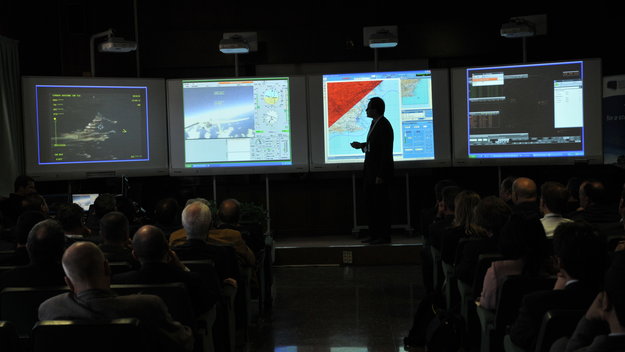
SARONTAR
Status date: 19 June 2015
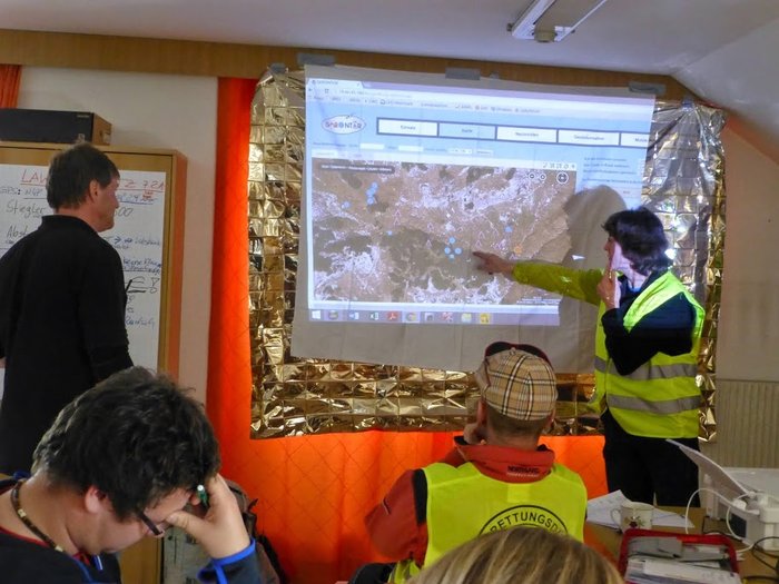
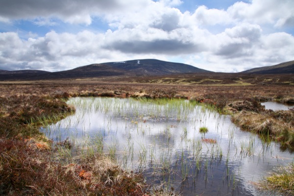
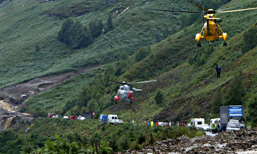
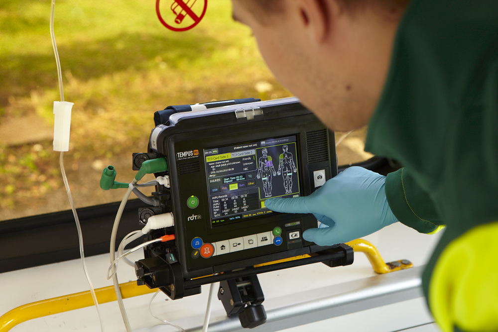
The SARONTAR (Situational Awareness and Command & Control of Rescue Forces in Alpine Regions) project comprises the demonstration and pilot implementation of a satellite-supported operations control system for a more effective and a more coordinated proceeding of the rescue forces in alpine rescue missions.
It is based on GNSS for positioning and navigation. Topographic maps and high resolution orthophotos form the basis for geoinformation. As communication techniques, terrestrial and satellite communication is used to provide a high level of reliability and thus seamless communication between rescue forces, mission controllers and emergency management centres.
SatFinAfrica
Status date: 25 March 2015
This is a pilot project to demonstrate the suitability of the Sat3Play platform, originally designed for the consumer and SoHo market, to provide reliable and secured financial services in remote and underserved areas in emerging countries in Africa.