
Objectives of the service
The last mile, the moment when the package finally arrives at the customer’s door, is today one of the main challenges in logistics. It is the most expensive and slowest part of the shipping process - accounts for about 50% of delivery cost. This is mainly due to the inefficiency of last mile delivery - incorrect addresses, difficulty finding locations, and no one at home to receive orders or damaged items.
The main project objective was to use the precise GNSS location to identify pickup and drop-off locations and to improve the daily journey of couriers by route optimization and address accuracy. This improvement demonstrated a significant reduction in the number of incorrect addresses and difficulty to find locations, reducing distances travelled and operational costs..
Users and their needs
YouShip’s service is targeted to:
-
Retail and online stores: YouShip facilitates the shipping process, by offering a cheaper and faster solution and providing real-time shipment visibility.
-
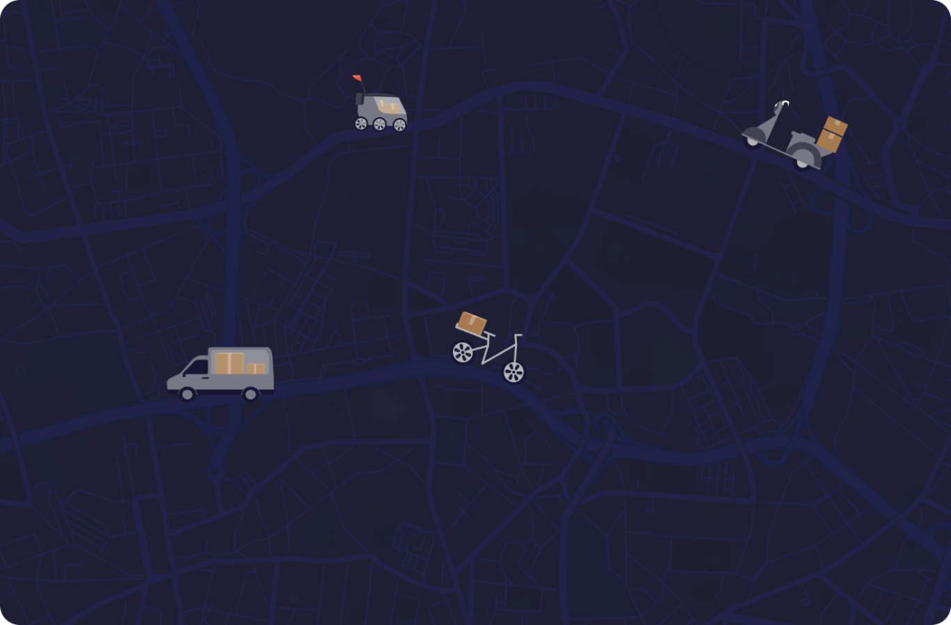
Couriers: the platform allows access to many customers and delivery services where the couriers can find delivery services to their daily routes.
Service/ system concept
YouShip is a platform for last-mile delivery that connects shippers (retail and online stores, mainly) and couriers; finds the best courier for each delivery and defines which would be the best route to follow between precisely mapped pick-up and drop-off locations. All of this through a mobile application with which the courier, the shipper and the recipient of a parcel can communicate in real time and track the delivery.
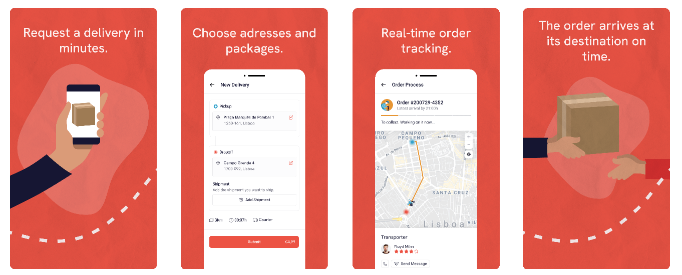
Thanks to precise pickup and dropoff locations, and the precise location of all couriers, any courier is able to instantly identify pickup and dropoff locations and optimize their daily journey routes.
At a technological level, YouShip collects GNSS data from different sources like mobile devices, external wristbands or dashboard vans in order to ensure more accuracy, integrity and performance in tracking and finding destinations.
Space Added Value
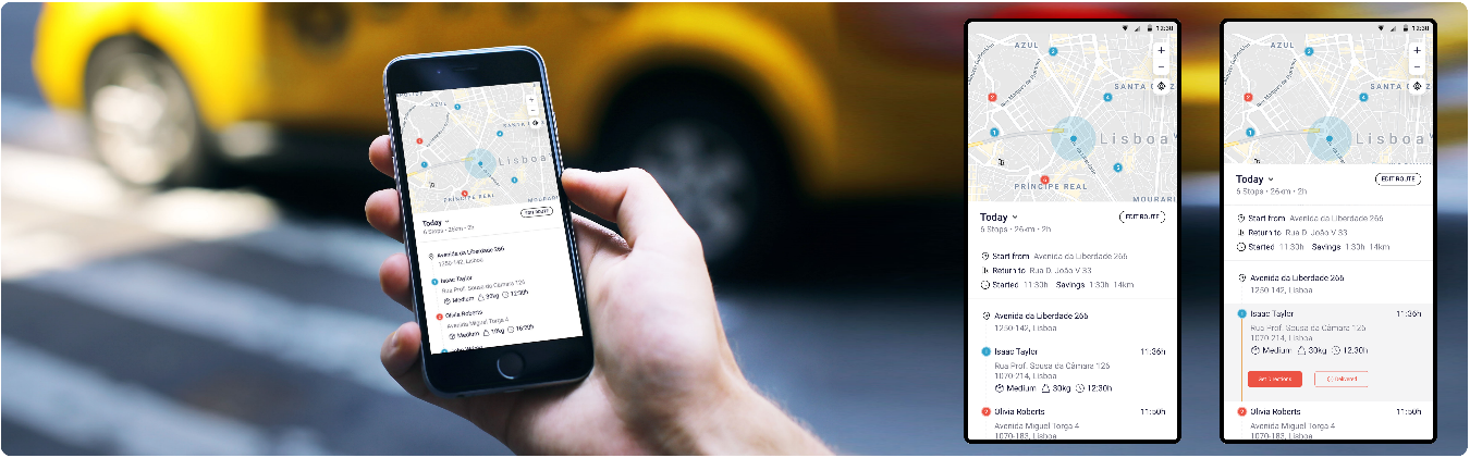
YouShip uses the location calculated by GNSS multi-constellation and dual-frequency chipsets to gets an accurate position close to 1-2 meters in urban environment. The added value of using satellite imagery is to provide a map to the couriers with high positional.
By using accurate position and providing up-to-date imagery the couriers can instantly identify the correct pickup and dropoff locations and save time and costs.
Current Status
The project started in May 2020 and the pilot utilisation of the system started in February 2022 and ended in July 2022.
Over the course of the pilot, over 60 user business signed up to use the YouShip delivery services, from large retailers to small businesses and over 50 user couriers signed up to deliver. It means that 110 users regularly use the service. In total over 10,000 packages were delivered, which includes over 20,000 location addresses and about 500 routes optimized.
ShipNow will now focus on rolling out YouShip to new customers and new geographies.