

Objectives of the service
Farmers need information about their soil fertility to plan their following vegetation season, especially applying of mineral fertilizers. Today, they use traditional soil sampling process and soil laboratory analysis to obtain needed information about levels of nutrients in their soil. Traditional approach is time consuming, error prone, based on labour and thus not scalable.
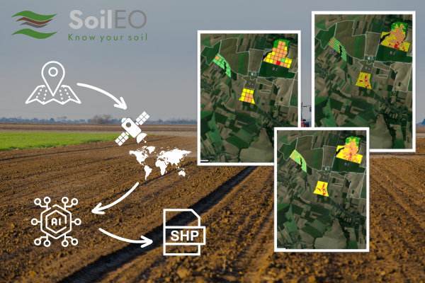
QZ Solutions developed a technology to get the same information remotely (with no soil sampling) using spaceborne hyperspectral image processing. The farmers then get it quicker, in higher resolutions and with no need to extract the soil samples.
QZ Solutions is going to validate SoilEO technology on non-Polish soil (Romanian, Czech and French), where it had been developed and validated for 5 seasons (2019-2023). Apart from the above validation task, there is one more: to make the service commercial-ready by building a web-based service (around the model), where end users are able to order a map of their fields.
Users and their needs
The main target end users are: Big Farms in Europe (holding or individual farmers) in the first step. However, the final commercial service is planned to be available across Europe and globally in the long term. There will also be an Application Programming Interface (API) for third party platforms integrations (like: OneSoil, SatAgro and alike).
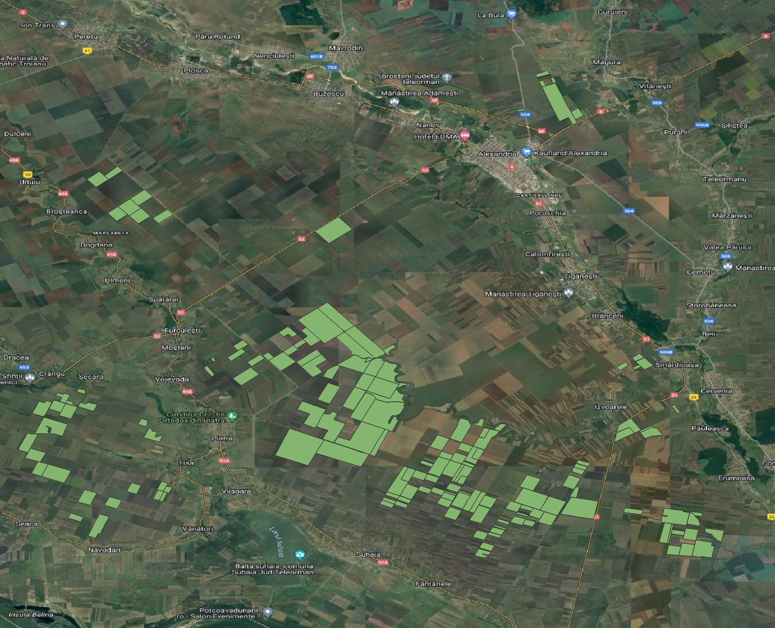
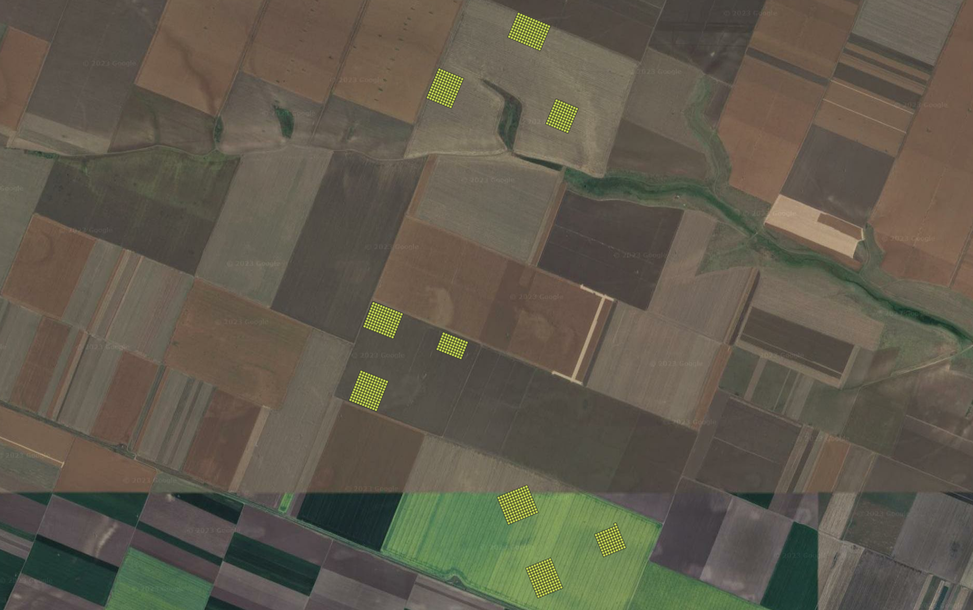
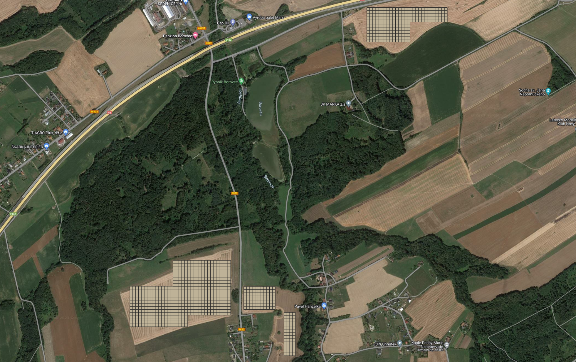
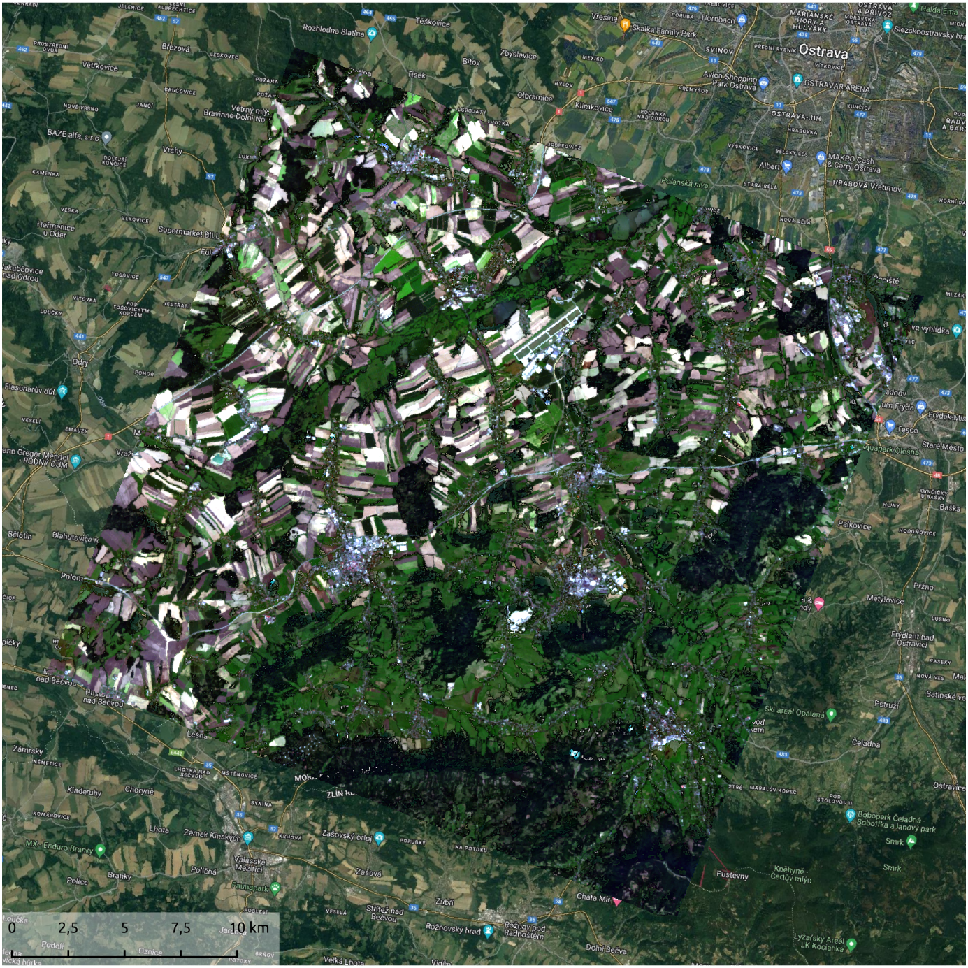
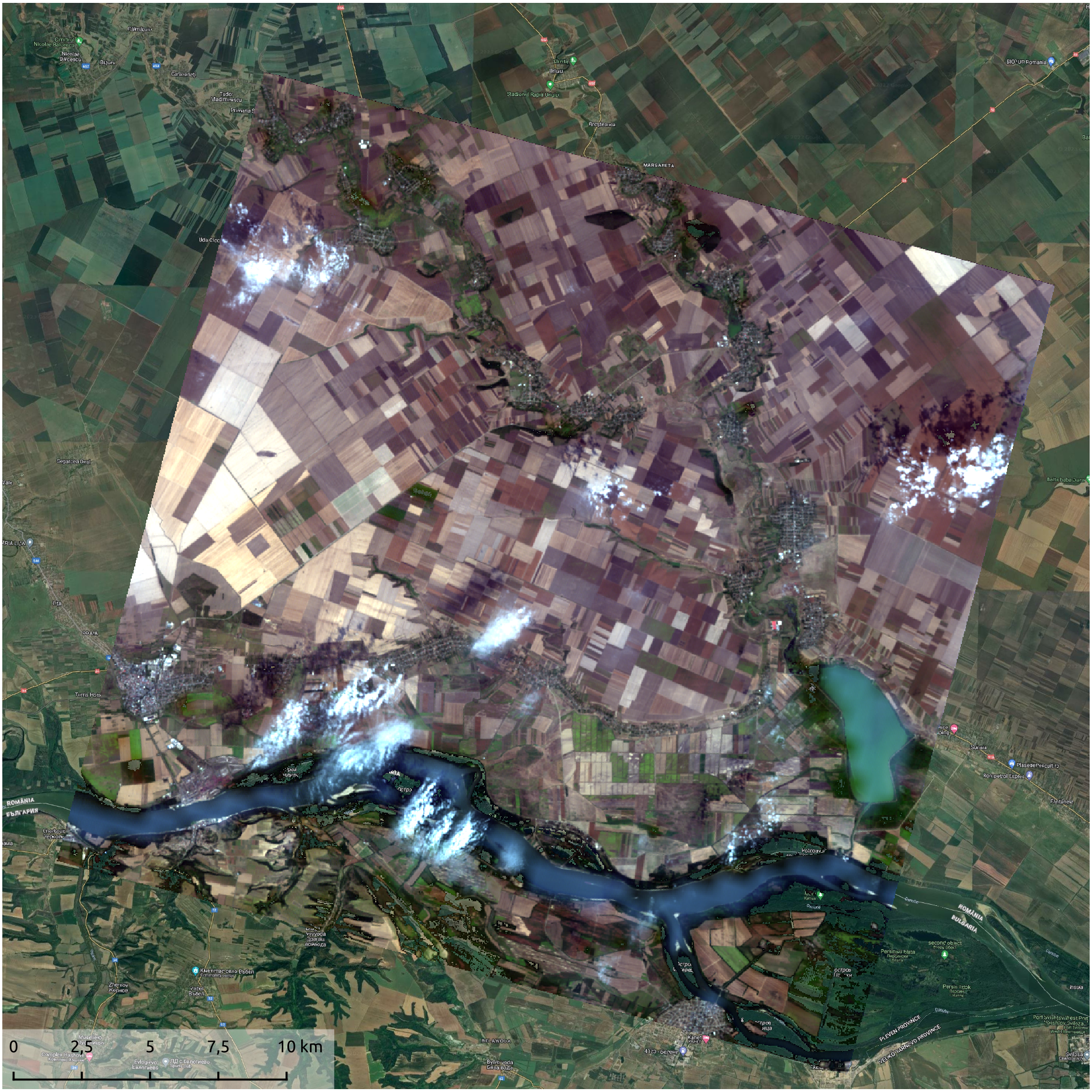
The Pilot Users involved in this project are: big farming holdings (1000+ hectares) and big individual farmers (100+ hectares). Agrinatura SRL in Romania, Agrosumak in Czech Republic and SCEA Guillaumot in France.
The main users’ needs are:
-
Users want to receive their soil analysis results quicker, to have more time for planning the following crops.
-
Users want to apply mineral fertilizers optimally and adequately and based on specific location on their fields rather than an average dose per the whole field.
The main challenge within this demonstration project will credible comparison between traditional soil sampling process and SoilEO maps; a credible “proof”.
Service/ system concept
The main feature of the SoilEO is a fertility map. The system, however, consists of a few important features from the end user perspective: variable map special resolutions. It is capable of generating a map from 1 result per 1 hectare (which is similar to today’s standards) up to 10 results per 1 hectare (which is ~30 meters per pixel). This is a substantial feature, which gives the end user higher precision. When planning mineral fertilizer application, such high-resolution map result in a Variable Rate Application (VRA) map, which in result generate savings on fertilizers usage.
The simplified workflow is: 1) select a field 2) order a hyperspectral image for the location of the field 2) analyse historical data for the field (using Sentinel data), 3) pre-process the data 4) generate fertility map for each soil parameter 5) generate a digital representation of the map applicable for VRA.
Space Added Value
SoilEO main technological assumption is: spaceborne hyperspectral images. Thanks to this new kind of images, QZ Solutions was able to extract information that could not be viable before with other kinds of available data (i.e. multispectral, radar, etc). Two public hyperspectral satellites with a wide spectral range (400-2500nm) are currently available: PRISMA from Italian Space Agency (ASI) and EnMAP from German Space Agency (DLR). SoilEO provides a real use and business case for those satellites.
Apart from the hyperspectral assets, SoilEO uses also multispectral and optical data from Sentinel as useful helpers in the whole process, like: Bare Soil Index (enhanced by QZ Solutions) and Productivity Zones. Both are important inputs to the SoilEO result.
Current Status
Soil Samples were collected for Romanian and Czech fields, 1 000 soil samples in each country. They were sent to a laboratory for checmical analysis and will act as a comparison and reference base for SoilEO maps.
The hyperspectral spaceborne images were ordered and collected from the PRISMA and EnMAP for the corresponding fields.
Prime Contractor(s)
