Objectives of the service
The frequency and the intensity of weather events are on the rise due to climate change. Crop insurers are looking to adjust both coverage and prices and improve their risk management technics.
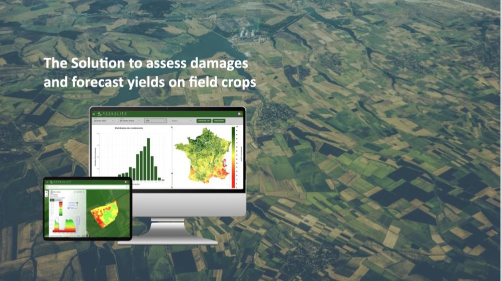
Our solution empowers financial risk management in agriculture by providing to risk managers and to adjusters estimates on crop losses due to adverse climate events. Our service allows a real time monitoring of crop production and losses all over the crop season.
Users and their needs
Insurers need to evaluate rapidly and efficiently financial losses arising from adverse weather events on crops. Consequently insurers need:
-
Claim adjusters assistance to bolster the adjustment at the plot scale with reliable data.
-
Risk manager assistance to monitor the crop season and evaluate losses at different administrative spatial scales prior to harvest.
The end-users of the solution are the risk managers and claim adjusters of the insurance company.
Service/ system concept
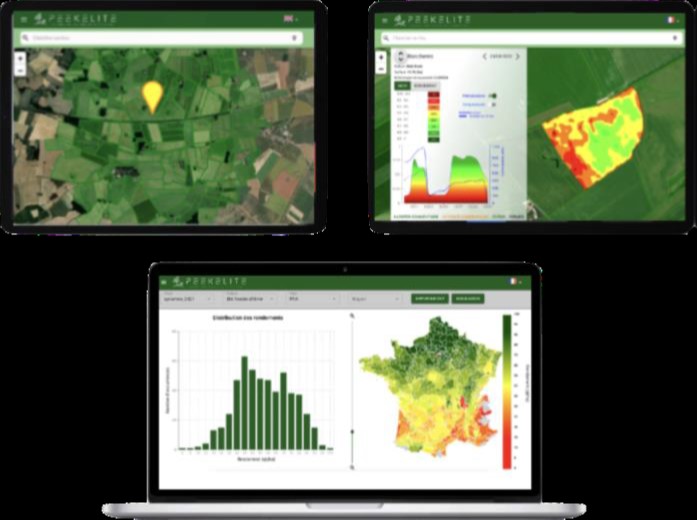
The service delivers real time data to risk managers and to claim adjusters via a Web App and a Mobile App for “on the ground” adjustment.
The following functionalities are provided at five spatial scales from the farm plot to the administrative region, and for several crops:
-
Financial losses
-
Yield forecasts
-
Yield volatility
-
Planted area per crop
These estimates are provided from three months before harvest and are updated every two weeks till harvest.
The risk manager navigates among the different spatial scales (municipality to region) to evaluate the losses and manage financial risks. The claim adjusters access data (crop maps, yield maps, weather data...) at the farm plot scale on a Mobile App to bolster damage assessment and keep a record of the farm damages.
Space Added Value
The service uses Earth Observation multispectral and radar data from Sentinel 1 (S1) and Sentinel 2 (S2) satellites of the Copernicus program of the European Commission.
The S2 spatial resolution of a few 10 meters is perfectly appropriate for field crops. The S2 time of revisiting for any location in the world is of 5 days. This temporal resolution enables a close S2 monitoring of the whole agricultural land as the service outputs are updated every two weeks during the crop season. The S1 time of revisiting is 5 days in Europe (12 days in America). This enables a good S1 monitoring all over the crop season.
In addition to S1 and S2 images, the solution also uses daily meteorological data from Copernicus product.
Current Status
The project is in a pilot phase with end-users of the service. This demo is performed over a full crop season and covers the entire French metropolitan territory.
The 2023 crop season will be actively monitored at different spatial scales.
2023 user feedbacks will enable to improve and validate the solution in order to expand internationally.