
Reducing the risk of bird strikes using satellite images and Ascend’s Normalised Difference Water index software (NDWI)


BROWSE PROJECTS
Based on user needs and industry skills, the evolution of customized solutions and the establishment of innovative services is accomplished through project activities. Focusing on various thematic areas, relevant information on the project activities is provided below.

SPACE4LIFE
Status date: 08 February 2024
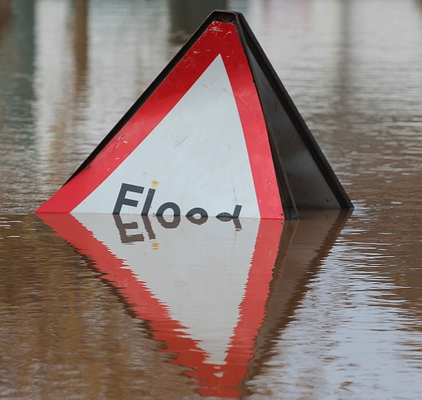
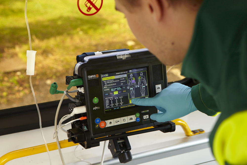
This study is meant primarily for increasing road user safety when crossing a level crossing and thus, the decrease of fatal accidents at rail-road crossings representing the second cause of railways fatalities in EU. In this project the achievement of higher safety standards for level crossing accident prevention is thought through the design of a low-cost system based on space assets and cutting-edge informatic technologies. The proposed system could be strengthened in terms of data accuracy through the integration of ground technologies (i.e., optical cameras and interactive signs) where needed.
PeaSat
Status date: 05 February 2024
The PeaSat project will develop a yield prediction package which uses satellite imagery to forecast vining pea harvest volumes around two weeks before harvest.
GAINS
Status date: 12 May 2023
GAINS is an “alternative data” platform for the Financial Services industry providing near-real time activity and leading-indicator production indices for a range of industrial supply chains such as iron ore and steel, and in future other metals, minerals and materials.
GAINS provides historic and near-real-time insights on the activity and production levels at hundreds of industrial sites worldwide on a daily or weekly basis, at a scale not previously possible, by harnessing AI-enabled remote sensing data fusion.

GAINS CCN1
Status date: 05 February 2024
GAINS provides historic and near-real-time insights on the production and activity levels at hundreds of sites involved in the global iron and steel supply chain. It offers an “alternative data” source for the Financial Services industry by providing near-real-time leading indicators such as stockpiles of raw materials and levels of activity and production, based primarily on satellite observations.
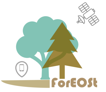
ForEOSt
Status date: 22 January 2024
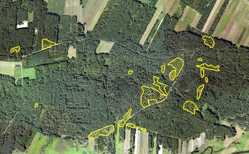
Discover how ForEOSt supports sustainable forest management with dynamic monitoring services based on Earth observation data. Get frequent updates on the forest vitality status and establish reliable tree count, density, and species to enhance your management practices. Whether in urban, agricultural, or rural settings, ForEOSt supports national and regional authorities, industries, and private owners in the face of climate change and biodiversity loss.
Let SPACEBEL help you monitor your forest and trees in the most efficient manner.
ABG
Status date: 30 January 2024
A data product harnessing wildfire impact data for carbon credit verification, estimation, and above-ground biomass change analysis in the growing carbon market.

SENO
Status date: 28 January 2024
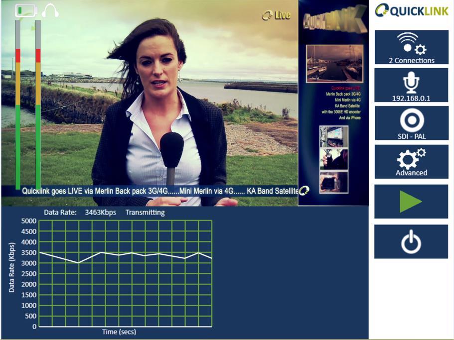
The SENO demonstration project aims to rapidly and efficiently deploy a high throughput and low latency satellite communications service to serve as a reliable and independent communication channel for the needs of humanitarian organizations in Dori (Burkina Faso). In this way, humanitarian actors would be able to offer IP-based services to Internally Displaced Persons (IDPs) and to the local community, while also improving the working conditions of their staff. Based on the success of the pilot and the market demand, the service could be scaled-up to other locations in and outside Burkina Faso.
3E Solar Data Services
Status date: 28 January 2024
3E Project Development solution provides accurate and bankable satellite-based solar irradiation data for solar power modelling: 3E Solar Irradiation Data. It is your go-to application to assess the long-term yield of future solar assets, improve the return on investment and evaluate operational plant performance.

PeaceEye
Status date: 27 January 2024
Monitoring and understanding of armed conflicts, Humanitarian-Development-Peace nexus.

DAPV
Status date: 27 January 2024
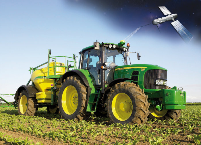
An advanced data-driven AI enabled, earth observation and ground data based, software solution for forecasting of energy production, crop growth/yield, O&M as well as design and economics in Agri-PV.

MiLoW-RRS-DP-2
Status date: 21 December 2022
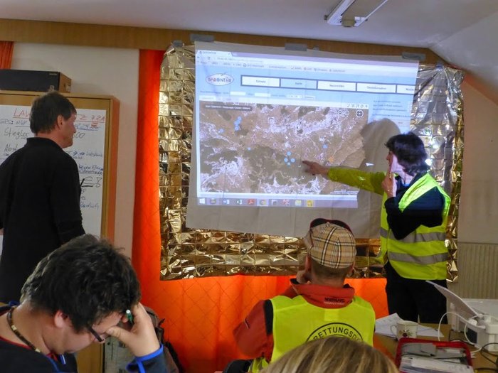
Following customer requests for expanding the initial service offering of the Micro Local Weather Route Recommendation Service’s high-resolution weather forecasts, new services for snow depth information, weather warnings, a short-term precipitation radar map, and high resolution climatologies were developed to provide better assistance and reduce weather-related risks for planning and undertaking safe outdoor activities.

SeaScope
Status date: 23 January 2024
CGG’s SeaScope service increases knowledge on the presence, characteristics and behaviour of oil pollution in marine and coastal environments by combining deep interpretative understanding with the unique spatial, spectral and textural information contained within historical and frequently acquired contemporary satellite images.
WARM
Status date: 22 January 2024
WARM uses Machine Learning to identify water stress based on satellite and remote sensing data. The result is a water resilience map that covers entire basins and also shows water availability, water accessibility, and water quality in detailed areas.
GSM (Golden Soils Monitoring)
Status date: 16 January 2024
Seqana is a Berlin-based startup developing a digital Monitoring, Reporting and Verification (MRV) service for soil organic carbon offset and inset projects, using Machine Learning (ML) and Earth Observation technologies. This Kick-Start project aimed to enable Seqana to acquire new ground truth datasets and to calibrate its ML models in Cambodia, Germany, and Kenya/Tanzania in collaboration with its local partners, respectively SmartAgro, CO2-Land, and Justdiggit. The relative improvement in accuracy metrics that Seqana achieved for each of the three calibrated regional models were an average increase in the final point-level test R^2 of 160% and an average reduction in point-level test Root Mean Square Error of at least 20%.
O-BOY
Status date: 10 January 2024
O-BOY is the first wrist-wearable that contains a satellite transmitter - therefore operates outside the range of mobile phones - and will offer a total package of services that can be lifesaving for athletes and adventurers in remote areas.
EOSports
Status date: 10 January 2024
The service aims at assessing the environmental impact of large sporting events.
The environmental impact is composed of the short-term impacts on Air (pollution), vegetation (trampling), and waste - all three part of the proposed feasibility study - as well as the medium-term impact regarding urban heat contribution.
AirTracks
Status date: 08 January 2024
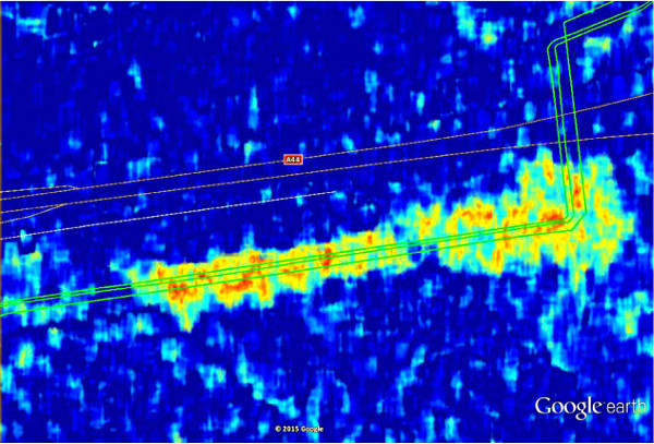
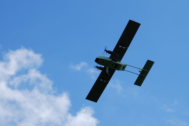
AirTracks is a flexible and cost-efficient Air Navigation Information Service for enhanced aircraft safety during approach and departure at small and medium aerodromes which do not have any aeronautical surveillance system (e.g. Radars). Airtracks combines various aircraft surveillance information (ADS-B, Mode-S, etc) in the vicinity of an airfield. The information can be visualized on a web-based display, showing the relevant/customized ancillary information layers in a user-friendly way e.g. flight plan, aeronautical charts, meteorological information as well as safety related notifications to aircraft pilots (NOTAMS).

AirTracks
Status date: 05 July 2018
Situational awareness is key in the aviation industry. Whereas many flight information services for scheduled air services transporting passengers, mail or cargo already exist, solutions for other parts of the aviation industry are scarce good. AirTracks is a dedicated flight information service solution that focusses on customer information needs in the fields of UAV and general aviation.
Forests from Space
Status date: 26 December 2023
Treedom is the first non-productive, privately financed online planting platform that allows consumers and businesses to plant trees remotely and follow their storylines. Satellite images and their elaboration will provide engagement and transparency tools to our customers and users.