
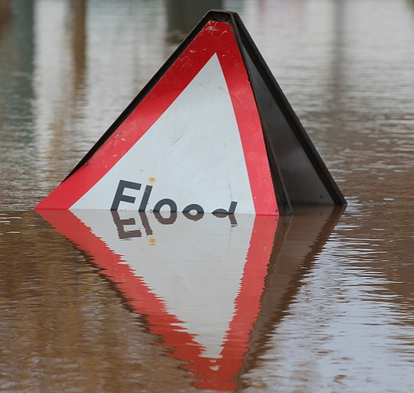
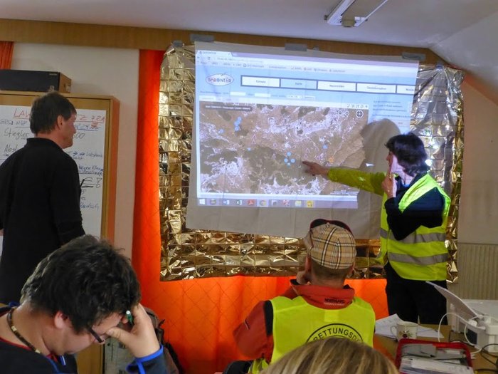
Reducing the risk of bird strikes using satellite images and Ascend’s Normalised Difference Water index software (NDWI)


BROWSE PROJECTS
Based on user needs and industry skills, the evolution of customized solutions and the establishment of innovative services is accomplished through project activities. Focusing on various thematic areas, relevant information on the project activities is provided below.

SAFEDEM Feasibility Study
Status date: 27 August 2012
Nowadays landmines and Explosive Remnants of War (ERW) still represent a danger for civilians, even long after conflicts. In addition, both dramatically hinder the recovery of economies impacted by a conflict, because resources located within areas such as arable land, infrastructure and water suspected of mine contamination cannot be exploited. In the SAFEDEM project, innovative methodologies based on well suited space assets will be exploited for an integrated end-to-end demining assistance service.
PREDICT
Status date: 10 April 2014
The objective of the PREDICT (Prevent and Respond to Epidemics and Demonstrate Information and Communication Technologies) feasibility study was to define sustainable new services for animal health surveillance and early warning. The combination of Earth Observation and state-of-the-art Information and Communication Technology enables to improve early reporting and rapid response and contributes to limit the spread of epidemics.

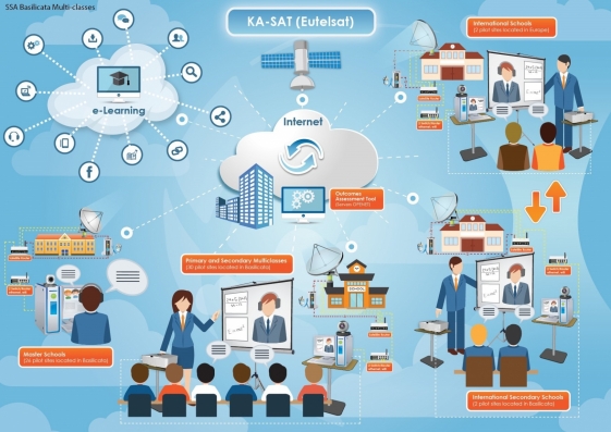
Lift Off
Status date: 08 September 2014
Internet penetration growth curve is still on the steeper side: people require more and more affordable and fast connection to the Internet, independently from where they are. The key characteristics of what is expected by an Internet connection are speed, affordability and reliability. In this sense the Lift Off Project tries to bring further the innovation brought by the recent satellites investigating on how DPI (Deep Packet Inspection) can be introduced by a Satellite Service Provider. The scope of this innovative “next step” on top of the KA-SAT is to optimize the existing services and to generate innovative market offers for satellite internet connectivity maximizing the user experience while improving the ratio cost/performances.
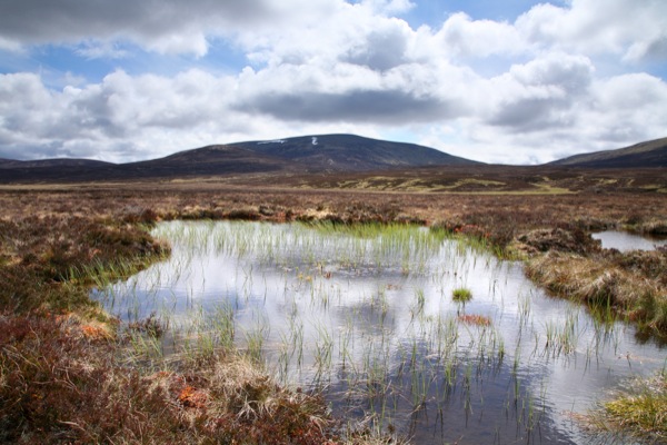
Peat Spotter
Status date: 07 July 2015
Peat Spotter was conceived by Rezatec Ltd. as a potential data service to provide cost-effective information for sustainable peatland management. Our intent is that Peat Spotter will reduce the amount of expensive field work required to gather information on peatland location, intactness and carbon content over time.

METSAR
Status date: 09 September 2014
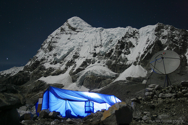
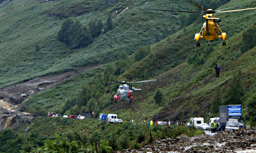
The METSAR project will investigate the feasibility of developing and demonstrating a new concept to the Search and Rescue (SAR) community.
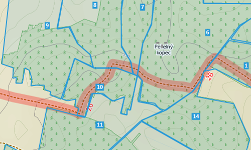
OTMOSERA
Status date: 29 August 2014
The purpose of the fast track feasibility study 'Open Trail Map / Open Solutions for enhanced Situation Awareness and efficient Emergency Response Actions in Mountainous Regions - OTM / OSERA' was to investigate and assess the technical feasibility and commercial viability of sustainable services to support the management and maintenance of hiking paths and trail maps, to support the safety and enjoyment of their visitors, to reduce the operational cost, and to prepare the follow-on steps for the implementation of such services.
NAVITOUR
Status date: 21 July 2014
N@VITour project, by integrating Telecommunications, Earth Observation and Navigation satellite assets, aims to set-up a service that allows:
- managing the resources of natural parks;
- supporting tourists during tours in natural parks.
MATIST
Status date: 09 April 2014
The MATIST services provide ground motion information to operators of alpine transportation infrastructures such as railway companies, institutes representing the national roads and companies from the energy sector.
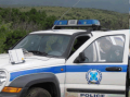
Land Border Control
Status date: 12 January 2012
The surveillance of borders is an essential function of a state, and is a topic that has gained increased concern in recent years. This study focuses on land border surveillance - a multifaceted and complex topic touching on some of the most critical security challenges of the moment.

ISIDE
Status date: 27 September 2011
The project ISIDE intends to develop, implement and validate a satellite based system of NCinema (N for networked), oriented at providing a range of services and applications in the field of D- (Digital) and E- (Electronic) Cinema. Over a period of two years,
the project realises a permanent validation platform for N-Cinema, in order to cover the complete representation of the relevant service value chains. The objective will be to validate and promote different forms of exploitation of the theatres, ranging from featuring digital movies, digital advertising and alternative contents to live events, shows in virtual reality and interactive applications.
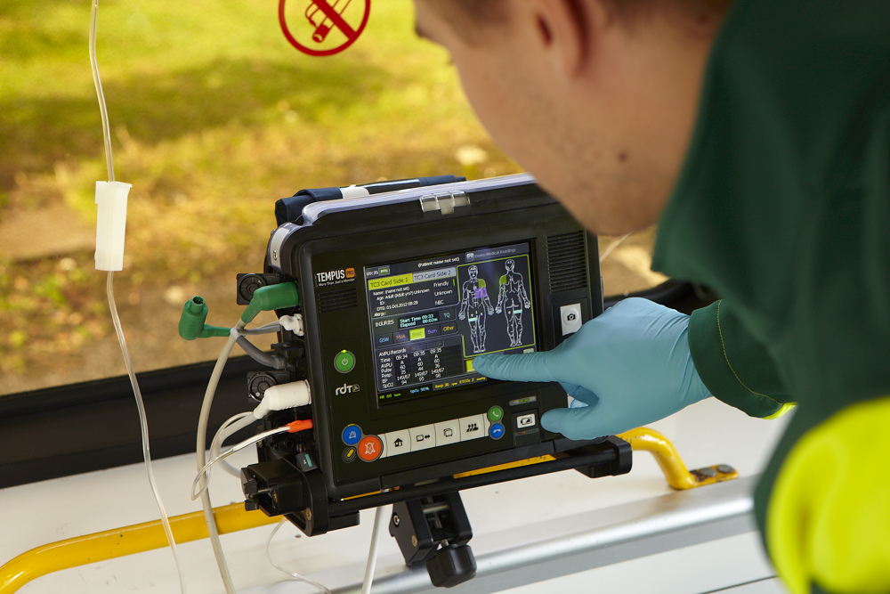
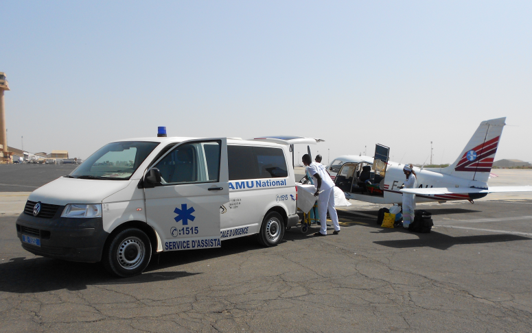
ISAES
Status date: 01 December 2014
The proposed project is to conduct a feasibility study focused mainly on interoperability aspects derived from to design, implement and operate a pan-African eHealth platform based on a satellite communications system.
ISABELIA
Status date: 27 June 2014
The ISABELIA Feasibility Study specified and validated the sustainability of services and that would provide users at sea with near real time information on dangerous ice situations, indicators of collision risk and on risk of grounding, thereby improving the safety of vessels in the Baltic Sea.