

Objectives of the service
The RSFPS project concerns the development of a system to rapidly identify of the fire hot spots in the National Park areas. This project extension involves the development of the remote sensing system to support fire management activities. The targeted activities are preliminary planning and preparations, fire monitoring and effective fire response planning.
The system will use satellite technology and airplane platform with the sensors to create an integrated platform that will uses the following domain: System GNSS, sensors: thermal, SAR and optical.
The System will be composed with the following components:
- EO SEGMENT
- AIRPLANE SEGMENT
- DATA PROCESSING SEGMENT
- DATA LINK (TRANSMISSION) SEGMENT
Users and their needs
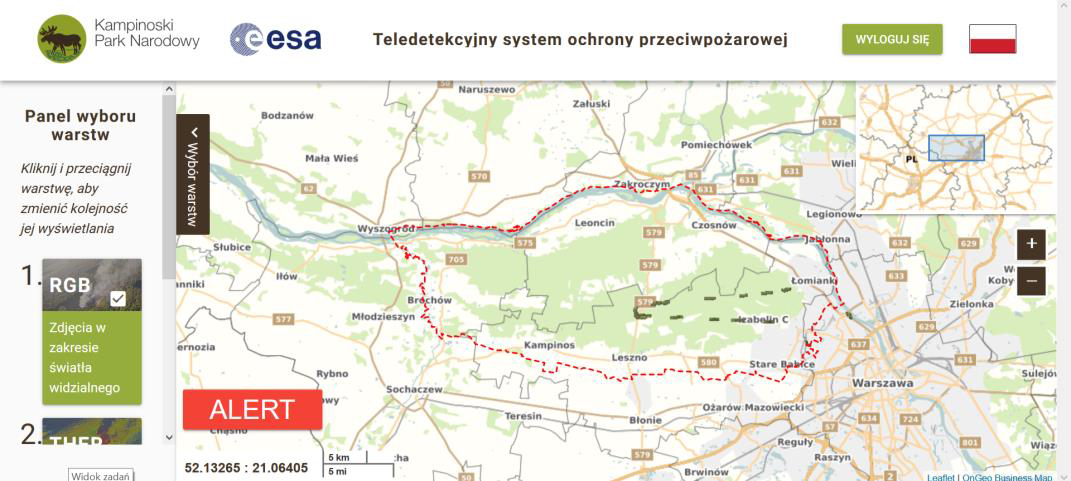
The End User of the Remote Sensing Fire Protection System is the Kampinoski National Park (Fig. 8). The Park has been established in 1959 and is the second biggest National Park in Poland. Park is located in the central Poland and occupy 385 km2. In 2000 has been listed on the UNESCO list due to the valuable and very unique ecosystem.
The park has almost 1230 km of the tourism paths and annually is visited by more than 1 million visitors. Apart the forest and agriculture areas are also the household and infrastructure (roads, electric power, gas station etc.).
Due to the huge influence of the human activities the Park is affected by the many of unpredicted fires.
National Parks.
Service/ system concept
The service Concept will be composed from 4 main domains:
1. EO SEGMENT
a. Remote sensing data: optical VHR, HR, LIDAR and radar (SAR) will be used to develop a topographic and vegetation maps for the specified search area (AOI). The recorded images will help to develop and plan the best route for the firefighting missions. The SAR images will be also used to update the LIDAR terrain model –
b. GNSS - positioning system will be used, among others, in IMU devices mounted on the air board platform. GNSS / IMU registers the position of the aircraft and thus allows to assign the coordinate location of all images registered by sensors. After identifying of the hot spots (fires) information about their current geolocation will be transferred in real time to the field team with the mobile devices.
2. AIRPLANE SEGMENT
This Segment will consist of a platform with the multisensors:
a. Thermal Camera: this sensor will be responsible for finding zones emitting heat,
b. Optical sensor: allows the identification and recognition of objects,
3. DATA PROCESSING SEGMENT
The development of efficient algorithms that will enable for fast and efficient processing of images collection for the mission preparation and during the operational fly actions to provide the geolocation of fires in the forest in the real-time
a. Data processing before mission
The output of the data processing segment before firefighting mission will be started are the set of the Fire Management maps (processed from the EO/LiDAR data).
b. Data processing during operational fly actions
This part of the project will be the most important aspect during the operational firefighting mission. The airplane system with the multisensors will send data real-time via the Data Link . This allows early detection, but also maintaining current situational picture about the fire spread, delivered directly to the field team (firemen).
4 DATA LINK (TRANSMISSION) SEGMENT
The fast and reliable transmission of the data will be one of the key element for the near-real-time operational action during the fire events. This technical aspect will be designed and developed during the CCN. The developed solution will allow communication between the airplane terminal installed on the platform and, if needed, a field terminal that will be use by the field fighting team in order to transmit in the near-real-time data of the fire hot spots in the forest.
Space Added Value
The RSFPS service will use the satellite and airplane technology to create an integrated platform that will uses the following domain: System GNSS, sensors: thermal, SAR and optical.
Current Status
The final service has been released to the users.
Prime Contractor(s)
Status Date
Updated: 25 July 2018