Objectives of the service
The City of L’Aquila, after the earthquake of 2009, tried hard to recover the cultural heritage that seemed to have been lost forever, while looking for its own history among the rubble. Hence the need to preserve what has been rebuilt and what has yet to be restored. Therefore the purpose of this Project is to create an end-to-end service for the City of L'Aquila which provides the possibility for the Municipality to enhance both preservation and fruition and diffusion of its cultural heritage. The improvements we pursue are low latency and greater information volume, possibility to map surface deformation, precise georeferencing, possibility to access information and contents which would not be visible otherwise.
Users and their needs
Users are:
- the Municipality of L’Aquila, users’ representative of a varied group of users, namely municipalities in general, Tourist development authorities, Chambers of Commerce, Destination Management Company, destination Management Organizations, Regions;
- tourists;
- conservators, restorers, art historians.
Use needs:
- using AR in order to enhance the value of cultural heritage of L'Aquila
- to monitor the conditions of the territory of L'Aquila, in particular in relation with the 2009 earthquake, aiming at the preservation of cultural heritage
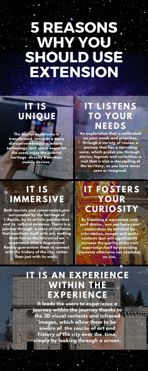
- Users wish to have a more entertaining, immersive and possibly interacting tourist experience
- Users wish to get instant information, either textual, visual or audio, on their end device (for example their smartphone) about what they are seeing
- Users wish to receive a proposed itinerary to visit all the most interesting attractions in the city
- Users wish to receive commercial suggestions about the best restaurants and shops as well as information about transport
- Users wish to receive information about cultural events that are available in situ
- Providing information regarding restoration and preservation status of the artwork observed (to see beyond the visible)
- The display of images needs to be simple, understandable and fast
Service/ system concept
The final goal of the project is to realize an innovative app to enhance preservation and fruition of the cultural heritage for the city of L’Aquila, oriented to the support of cultural production and to the setting up of solutions for innovation in the tourist offer of the territory.
The key activities related to the software implementation are:
- Exploit a disruptive AR mobile app
- Create 3D contents
- Include a visual monument recognizer, that allows to identify the seen monument and get access to additional textual/visual information
- Setup a SAR image analysis for Cultural Heritage remote monitoring
- Application of image-based multispectral diagnostic techniques
- Audio content creation
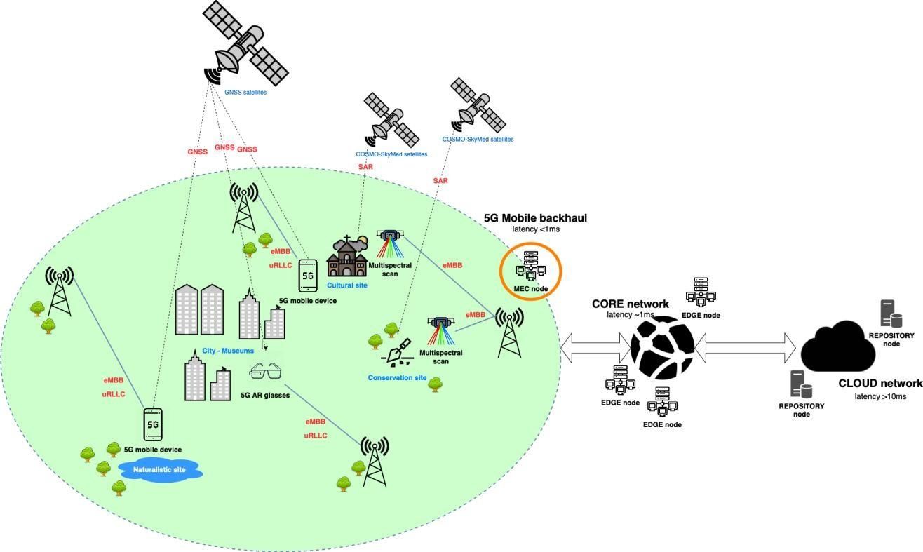
- Guarantee a precise georeferencing in an Italian old town, which is often characterized by a lack of GPS connection, thanks to GNSS
- Low latency and greater information volume allow the app to be highly responsive and to load the contents as soon as the user frames a monument or a of interest thanks to MEC service and 5G network.
A diagram of the system showing the key attributes and key building blocks and the main interfaces is provided in the figure below:
Space Added Value
Thanks to the space added value and the 5G technology we are able to pursue the following improvements, namely:
- 5G and MEC service: Low latency and greater information volume;
- InSar: Possibility to map surface deformation;
- GNSS: Precise georeferencing in an Italian old town, which is often characterized by a lack of GPS connection.
The information from Cosmo-SkyMed (InSar) can be applied to sites of interest in order to get the evidence of ground and infrastructures displacements. 5G makes faster to reach and obtain the above-mentioned information and the GNSS allows to detect the accurate localization of the user. All these three elements together are functional in order to guarantee a disruptive and immersive tour, making the user totally and fully aware of the place he/she is visiting.
Current Status
We are currently deepening the customer engagement, finalising the user and system requirements.
If anyone of the users is interested in participating in the review and acceptance of the results, you can email extension@carsa.it.
Prime Contractor(s)
Subcontractor(s)