
Members of the mine action community are enthusiastic about the results of the Space Assets for Demining Assistance (SADA) activity. Coordinated through ESA's Integrated Applications programme, SADA brought together three consortia, Infoterra, Radiolabs (SAFEDEM) and INSA, to determine the integration of space assets with existing landmine removal processes.
SADA feasibility studies were performed in close collaboration with the mine action user community, in particular the Geneva International Center for Humanitarian Demining (GICHD). GICHD has expressed its interest in SADA services and will continue to support them. So far, five national mine action centers have indicated strong interest to be involved in the services and further developments, one of whom being BHMAC (Bosnia and Herzegovina).
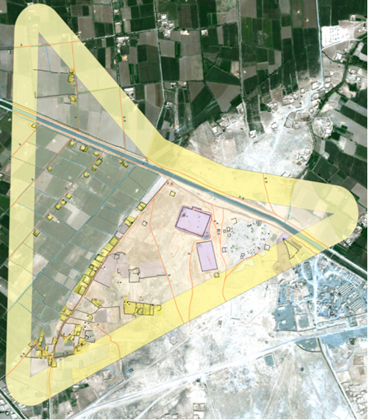
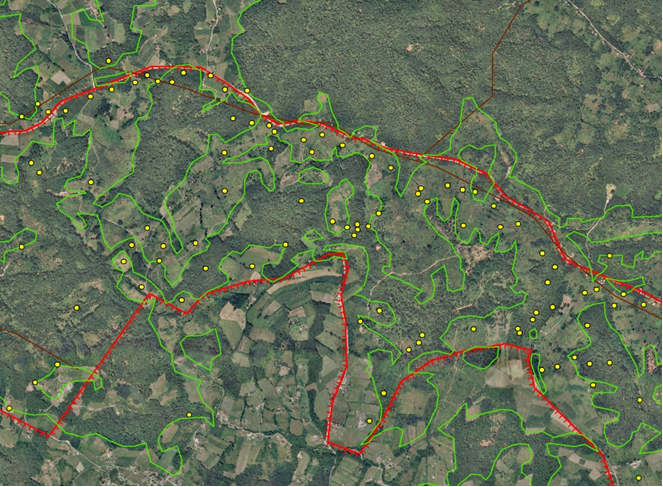
This video showcases the example of Hadzici, an area near Sarajevo, Bosnia-Herzegovina.
BHMAC have already identified a number of benefits SADA can provide including reduced costs in technical surveys and landmine clearance activities by 10 to 20 per cent.
Today, a skilled, properly equipped deminer, scanning and probing the ground in the conventional way, can process an area of only about 35 m²/day. The price tag for processing a square kilometre currently amounts to as much as 700 kEuro, and it regularly happens that only a single mine is found, or none at all. While mine risk education and systematic survey methods have improved over the last 10 years, experts estimate there are more than 100 million mines and explosive remnants of war (ERW) left that still claim more than 4000 victims every year.
Study results indicate that SADA services can improve the process. Better use of available resources will save lives. Following a user needs analysis among 30 user groups, a system concept design effort and a proof of concept demonstration performed by the consortia, the users have identified the services from which they see significant benefit.
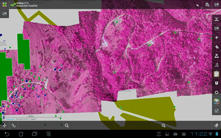
Overall, SADA will integrate data from both space-enabled services and mine action, including imagery from various satellites and UAV, cartography, maps, and field data. The data is analysed and results will be accessible through common mine action tools such as the Information Management System in Mine Action (IMSMA). The SADA interface will be tailored for mine action users without a sophisticated technology background. SADA will ensure users follow the land release processes according to the International Mine Action Standards (IMAS).
Some of the identified services will now be made available while others will be developed further by the relevant team members with the users. The possibility of an IAP demonstration project is also under consideration.
 |  |  |